
Beamsley Beacon and Lippersley Pike from Ilkley
Two moors and three tops for 514m of climb, starting a few minutes from a station platform. Beamsley Beacon is the last hill of the Yorkshire Dales and the view south from it takes in the whole of Wharfedale with Rombalds Moor filling the far side.
No photos of this route yet. Sign in to add one
An 18.7km loop from Ilkley over the Wharfe and up onto Beamsley Beacon at 393m, then east along the moor watershed over Round Hill and Lippersley Pike before dropping back to the river at Curly Hill.
Two moors and three tops for 514m of climb, starting a few minutes from a station platform. Beamsley Beacon is the last hill of the Yorkshire Dales and the view south from it takes in the whole of Wharfedale with Rombalds Moor filling the far side.
The route
From Riverside Gardens the route crosses the Wharfe at the Old Bridge, skirts the bottom of Middleton Woods and climbs steadily northwest on lanes and tracks towards the foot of the Beacon. The gradient is gentle for the first five kilometres, which is just as well, because the pull at the end of it is not.
Beamsley Beacon
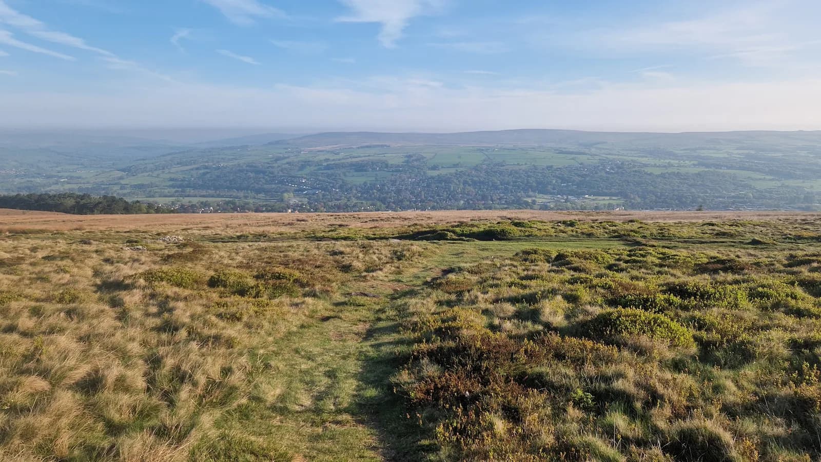
The summit at 6.8km is 393m. The Bronze Age cairn on top is twelve metres across and over two metres high, and it was used as a Napoleonic warning beacon, recorded as such in the Bolton Abbey registers of 1803. This is the southeastern corner of the Yorkshire Dales National Park and the view is the reason to be here: Wharfedale running away northwest, Rombalds Moor filling the far side of the valley, and the flat top of Round Hill waiting to the east.
Denton Moor
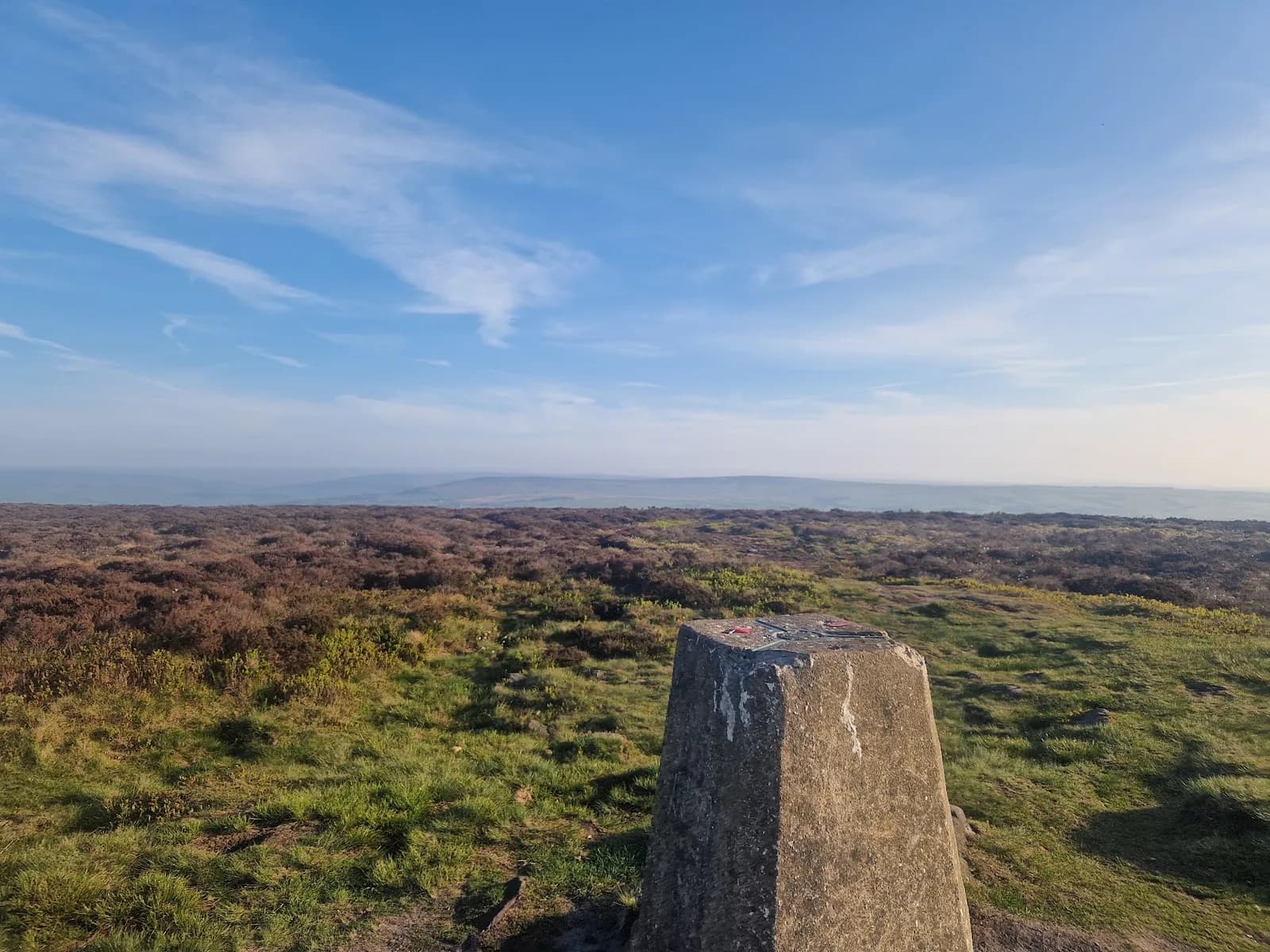
From the Beacon the route turns east along the watershed. Round Hill at 9.5km is 406m and the high point of the day, a small grassy hump with a cairn on it marking the highest ground on Blubberhouses Moor. The ridge then runs east over open heather for three kilometres to Lippersley Pike at 12km, 330m, where the summit cairn has a shooting butt built into it and boundary stones dated 1757 stand along the ridge. These are working grouse moors, unlike Ilkley Moor across the valley, so check the access restrictions before you go between 12 August and 10 December.
The way home
The route turns south off the moor, crosses the lanes above March Ghyll Reservoir and drops back to Curly Hill at 17.5km before rejoining the river into Ilkley. 514m of climb over 18.7km, nearly all of it on tracks and moor paths, and the ground between Round Hill and Lippersley Pike is the only part that needs real care in poor visibility. Go clockwise as described and you get the big climb done early and a runnable last five kilometres, which is the right way round.

Partner · affiliate policy
The three kilometres of heather moor between Round Hill and Lippersley Pike is open, wet and short of features, and it needs a map and compass in cloud. Denton, Askwith and Blubberhouses are working driven grouse moors where access land can be closed for up to 28 days a year, so check the Natural England restrictions before travelling, particularly from 12 August. There is no shelter and nothing to refill from once you leave the lanes.
Summits on this route
Safety on this route
- No signal? Text 999 — pre-register first: text register to 999
- Tell someone your route and expected return time before you head out
Leave No Trace
- Leave nothing but footprints, take nothing but memories.
- Please respect the countryside and all its inhabitants.
- Dogs on leads near livestock, and around ground-nesting birds from March to July.
- Gates as you find them — open or closed, leave it that way for the farmer and the next runner.
- Take it all home — wrappers, peel, tissue, the lot. It doesn't count as biodegradable if you can still see it.
- Stick to the path where the ground either side is wet, planted, or nesting habitat.
Common questions
- Most runners complete Beamsley Beacon and Lippersley Pike from Ilkley in 2 hours 25 minutes to 3 hours 15 minutes, depending on pace and conditions.
GPX checked
Distance, ascent and grade are calculated from the GPX file. Nobody has run this one for us yet, so treat the description as a plan rather than a report. How we check routes
About the author
Runner reports
Nobody's logged a run here yet. If you get out on it, a few lines about how it went helps the next person plan their day.



Routes nearby
Start from a town: Ilkley 0.3 km · Skipton 13.3 km
 MODERATE
 HARD
HARD HARD
HARD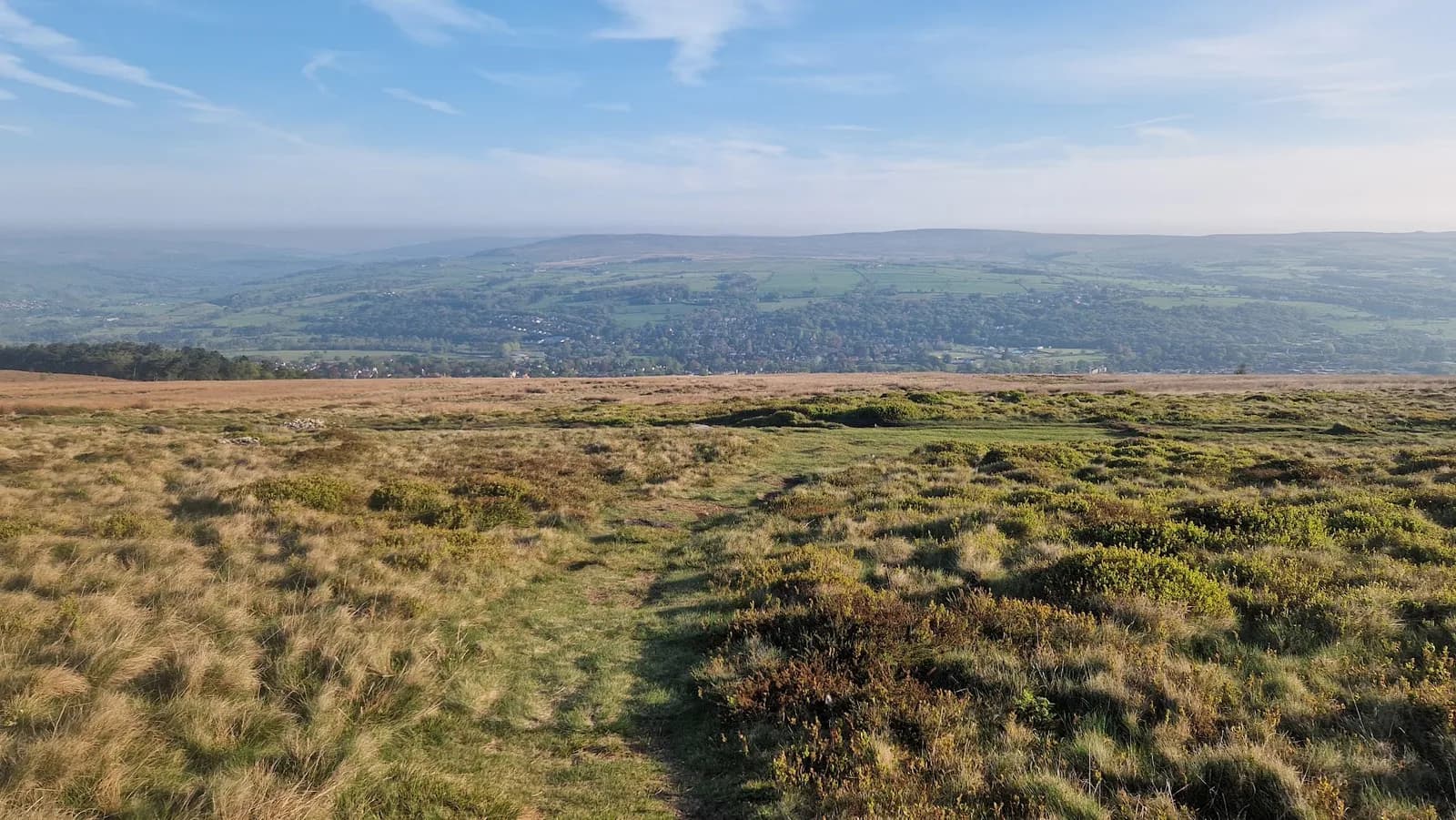 MODERATE
 MODERATE
 HARD
HARDRaces on this ground
All Yorkshire Dales races →Races starting within 20 km of the Beamsley Beacon and Lippersley Pike from Ilkley start, nearest first. If you are entered for one, this route is the rehearsal.
14
Aug
2027
Ilkley Skyline
The Hermit Inn, Moor Rd, Burley Woodhead, Burley in Wharfedale, Ilkley · Great Owl Running · 3 miles away
Unmarked 35km fell round of the moors above Ilkley, plus a 21km half
Not open yet
£25
17
Jun
2027

Bingley Rock Up n' Run
Five Rise Locks, Beck Lane, Bingley · It's Grim Up North Running · 5 miles away
A midweek summer evening 10k on the Leeds & Liverpool towpath from Five Rise Locks. Register from six, pay on the night, jumble medal and hot food after.
Entries open
£17
7
Nov
2026
The Grim Reservoir Dogs
Swinsty & Fewston Reservoir car park, North Lane, near Otley · It's Grim Up North Running · 5 miles away
A run with your dog round Swinsty and Fewston reservoirs on good woodland trail, one 3.3-mile loop or two. A fun dog race, not run under canicross rules.
Entries open
£18–£29
7
Nov
2026
Swinsty & Fewston Lakeside Dash
Swinsty & Fewston Reservoir car park, North Lane, near Otley · It's Grim Up North Running · 5 miles away
The 6.7-mile loop of Swinsty and Fewston reservoirs on well-kept trail, run once, twice, three or four times for the half, the twenty and the marathon. Everything starts at nine.
Entries open
£29–£43