Best Trail Runs From Skipton Without Driving Far
Trail runs you can start on foot from Skipton or its train station: canal loops, Skipton Moor and quick summits. Honest grading and free GPX on every route.
Best trail runs from Skipton without driving far
Skipton is one of the few trail running towns in the Yorkshire Dales where you genuinely don't need a car. The station is on the main line, the moor starts climbing within minutes of the last houses, and the Leeds–Liverpool Canal runs right through town for flat, fast miles. The routes below all start in Skipton or a short walk from the centre — no long drive, no parking scramble. Every one has a free GPX download and an honest TRP Grade.

Route comparison
| Route | Distance | TRP Grade | Best for | GPX |
|---|---|---|---|---|
| Skipton Aireville Park and Woods | 6.8km | Easy | First run, flat and surfaced | GPX |
| Skipton Moor from Skipton | 6.3km | Moderate | Quick moor and a climb | GPX |
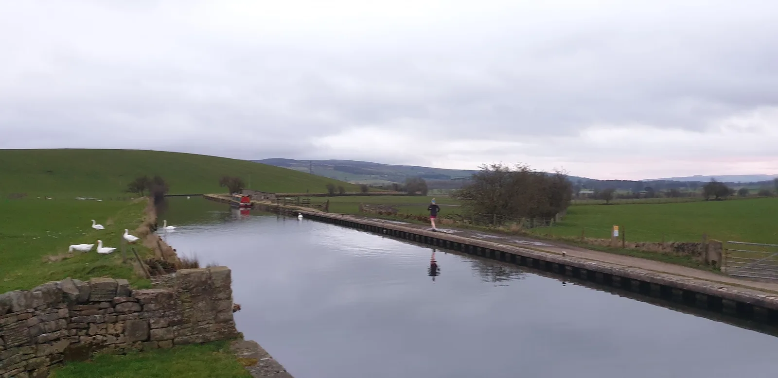
| Skipton Canal and Stirton | 8.3km | Moderate | Flat canal miles | GPX |
| Skipton Woods and Canal | 11.5km | Moderate | Castle woods and towpath | GPX |
| Embsay Crag from Skipton | 11.6km | Moderate | A proper gritstone edge | GPX |
| Sharp Haw from Skipton | 13.9km | Moderate | The best summit for the effort | GPX |
| Welcome to Skipton | 23.6km | Very Hard | A long day from town | GPX |
From the station and the park
If you've come by train, the Skipton Aireville Park and Woods loop (6.8km) is five minutes from the platform — flat, well-surfaced, and good underfoot all year. It's the run for an hour spare or a first trail outing. The Skipton Canal and Stirton loop (8.3km) picks up the Leeds–Liverpool towpath for flat, direct running out to the hamlet of Stirton and back, and the Skipton Woods and Canal circuit (11.5km) adds the castle woods on the way out.
Quick climbs and summits
Skipton Moor starts climbing minutes from the town. Skipton Moor from Skipton (6.3km) is the shortest and sharpest — twenty minutes from the station and you're on open moor with a proper climb done. Embsay Crag from Skipton (11.6km) reaches a gritstone edge that looks ordinary on the map and delivers far more in person, and Sharp Haw from Skipton (13.9km) gives a disproportionate amount of summit feeling for a hill this size, with a short steep pull right at the end.
A long day from town
When you want distance without driving, Welcome to Skipton (23.6km, Very Hard) is the full picture in one run: moor above, canal below, and the Craven countryside in between. It's a proper long day out from the town centre.
Practical notes
Getting there. Skipton is on the main line with frequent trains, and bus services 12, 13, 72, 75 and 280 cover the town. None of these routes need a car.
Shoes. The canal and park loops take any trail shoe; the moor routes want lugs that grip on wet grass and peat.
Safety. The moor carries its own weather even this close to town. Carry a light waterproof and check the forecast. In an emergency call 999 or 112, ask for Police then Mountain Rescue.
FAQs
Can I trail run in Skipton without a car?
Yes. Skipton station is on the main line, and the moor, canal and Aireville Park all start within walking distance of the centre. Every route in this guide is car-free.
What is the best short trail run in Skipton?
Skipton Moor from Skipton (6.3km) gets you onto open moor with a climb in about twenty minutes from the station. For flat ground, the Aireville Park and Woods loop (6.8km) is gentler.
Do I need to register to download GPX files?
No. Every GPX download on Trail Running Planet is free, with no account, no email gate and no paywall.
More Skipton routes
This is the car-free pick. For the full list, see the best trail running routes near Skipton, or browse every Yorkshire Dales route.