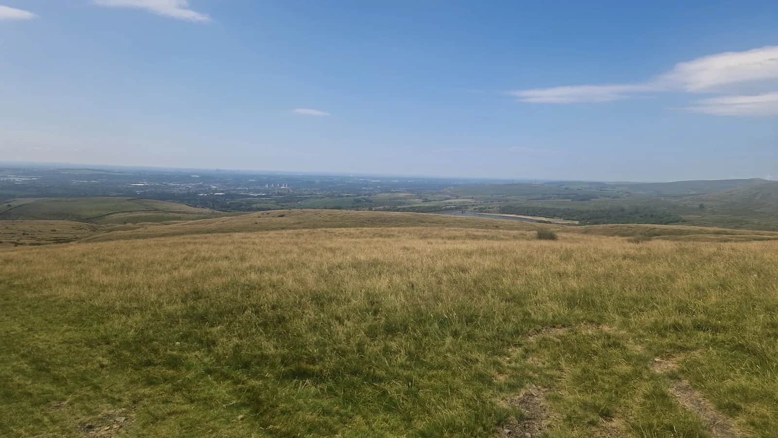
Rochdale Norden Moors and Watergrove Reservoir
Raw, atmospheric Pennine scenery at its most uncompromising- Walk a section of the historic Cotton Famine Road, hand-built in the 1860s by unemployed weavers- Big views west into Lancashire and east into Yorkshire from the ridgeline- Quieter than many Pennine routes - you will often have the moor to yourself
Effort: Moderate distance, manageable climb
Underfoot: Technical, navigation required
E2·T4 — how we grade routesNo photos of this route yet. Sign in to add one
Mostly on runnable ground, but most runners still walk the steepest climbs.
A demanding moorland traverse on the Lancashire-Yorkshire border, crossing exposed Pennine ridges, following the historic Cotton Famine Road and dipping past dark gritstone reservoirs.
Raw, atmospheric Pennine scenery at its most uncompromising- Walk a section of the historic Cotton Famine Road, hand-built in the 1860s by unemployed weavers- Big views west into Lancashire and east into Yorkshire from the ridgeline- Quieter than many Pennine routes - you will often have the moor to yourself
Rochdale Moors and Reservoirs
This 19.5 km route crosses some of the finest and least-visited moorland in the Southern Pennines, covering the high ground above Rochdale between Blackstone Edge and Rooley Moor. It is a serious day out that demands good navigation skills and appropriate gear, but rewards those who come prepared with solitude and scenery in equal measure.
The walk sets out across open grouse moor, gaining height steadily on firm peat tracks before reaching the exposed ridge of Blackstone Edge at 472 m. This is Pennine Way country - the boundary stone and the ancient packhorse road that crosses the ridge here have been guiding travellers between Lancashire and Yorkshire for centuries.
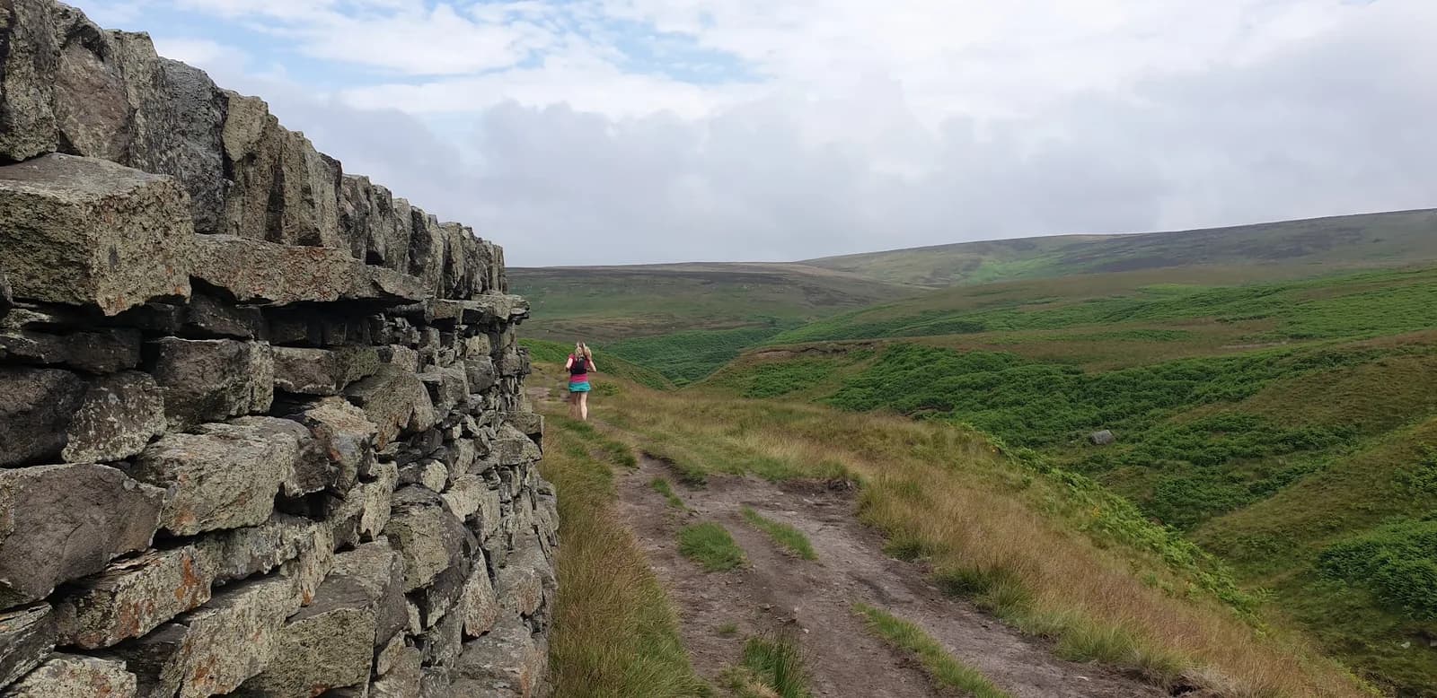
From the ridge, the route follows the historic Cotton Famine Road (also known as Rooley Moor Road), a remarkable track built in the early 1860s under a public works programme to provide employment to weavers thrown out of work by the American Civil War's disruption of cotton supplies. The original cobbles are still visible beneath your feet on the highest sections.
The middle section descends into the deep cleft of the Spodden Valley before climbing back onto the moor via Healey Dell, where a Victorian viaduct spans the gorge above an 18-metre waterfall.
The return runs above a chain of dark-water reservoirs that fill the moorland hollows, with the lights of Rochdale visible in the valley below on the descent.
Key Facts
- Distance: 19.5 km (12.1 miles)
- Ascent: 483 m
- Terrain: Moorland, historic cobbled track, valley paths
- Start/Finish: Rooley Moor Road near Summit (OL12 6BN)

Partner · affiliate policy
- Navigation is difficult in mist on the high moorland - OS map and compass essential
- Exposed ridgeline; weather can change quickly; wind chill significant in winter
- Some boggy sections on the Cotton Famine Road are unavoidable in wet conditions
- Limited escape routes from the high moor
Safety on this route
- No signal? Text 999 — pre-register first: text register to 999
- Tell someone your route and expected return time before you head out
Leave No Trace
- Leave nothing but footprints, take nothing but memories.
- Please respect the countryside and all its inhabitants.
- Dogs on leads near livestock, and around ground-nesting birds from March to July.
- Gates as you find them — open or closed, leave it that way for the farmer and the next runner.
- Take it all home — wrappers, peel, tissue, the lot. It doesn't count as biodegradable if you can still see it.
- Stick to the path where the ground either side is wet, planted, or nesting habitat.
Common questions
- Most runners complete Rochdale Norden Moors and Watergrove Reservoir in 2 hours 25 minutes to 3 hours 15 minutes, depending on pace and conditions.
Run by us· last checked July 2026
Jason Millward has run this route and written it up from the ground. How we check routes
About the author
Runner reports
Nobody's logged a run here yet. If you get out on it, a few lines about how it went helps the next person plan their day.



Routes nearby
 HARD
HARD VERY HARD
 VERY HARD
 VERY HARD
Races on this ground
All Greater Manchester races →Races starting within 20 km of the Rochdale Norden Moors and Watergrove Reservoir start, nearest first. If you are entered for one, this route is the rehearsal.
31
Oct
2026
Race You To The Summit
Summit Inn, Littleborough · Cragg Runner · 4 miles away
A four-mile Halloween fell race from the Summit Inn at Littleborough, with eight hundred feet of climb in it.
Entries open
21
Feb
2027
Windy Hill
Rams Head Inn, Denshaw · Cragg Runner · 6 miles away
Twelve miles of good trail and two thousand feet of climb from the Rams Head Inn above Denshaw, in February with full kit.
Entries open
14
Mar
2027
Two Crosses
Greenmount Old School Community Centre, Brandlesholme Road, Bury · LDWA East Lancashire · 7 miles away
Twenty-six or eighteen miles of the West Pennine moors, tracks and reservoirs from Greenmount, forty-first running, nine hours, with a cut-off at seven and a half miles on the long route.
Entries open
£15–£22
8
Nov
2026
Soyland Moor
Hinchliffe Arms, Cragg Vale · Cragg Runner · 8 miles away
Thirteen and a half miles of fell over Soyland Moor from the Hinchliffe Arms at Cragg Vale, under FRA rules.
Entries open