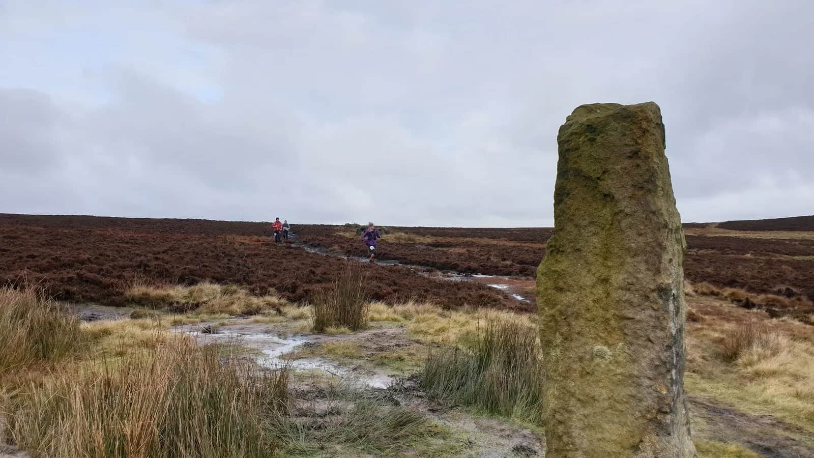
Wadsworth Trog
This is the Wadsworth Trog, a proper Calderdale beast: mile after mile of high Pennine moor, peat bog and reservoir embankment that locals rate among the toughest moorland rounds in the north.
Effort: Long day out, serious climb
Underfoot: Technical, navigation required
E4·T4 — how we grade routesNo photos of this route yet. Sign in to add one
A 31.5km loop over the moors north of Hebden Bridge from Old Town, the route of the notorious Wadsworth Trog fell race. Big, boggy South Pennine moorland running with reservoirs, trig points and deep peat.
This is the Wadsworth Trog, a proper Calderdale beast: mile after mile of high Pennine moor, peat bog and reservoir embankment that locals rate among the toughest moorland rounds in the north.
The route
Start from Old Town above Hebden Bridge and take on the 31.5km loop of the Wadsworth Trog over the high moors north of the Calder valley. The route strings together a sequence of moorland landmarks, High Brown Knowl trig, the Dean Head and Warley Moor reservoirs, and Sheepstones trig among them, across ground that is roughly a third bog, a third hard track and a third open moor. It is a long, honest day on some of the wildest ground in the South Pennines, and it earns its fearsome local reputation.
The moor
The moors north of Hebden Bridge are classic dark-peat South Pennine country: heather, cotton grass, groughs and reservoir after reservoir built to feed the mill towns below. This is not pretty, manicured trail but working moorland, wind-scoured and boggy, with big skies and long, empty views towards Bronte country and the Lancashire border. The trig points and reservoir embankments are the waymarks, and between them the ground is often trackless, tussocky and wet, the essence of a Pennine trog.
Why it works
This is a route for experienced moorland runners who want a real test. The distance, the bog and the exposure make it a serious undertaking, and navigation is a genuine skill here, with faint trods that vanish in cloud, so map, compass and the ability to use them are essential. Expect wet feet from the first mile and pick your lines through the peat. Save it for reasonable weather and carry proper kit for the moor. Old Town and Hebden Bridge below have everything you need for afterwards. Finish it in bad conditions and you will understand exactly why the locals call it a beast.

Partner · affiliate policy
Serious open moorland with deep peat bog, faint trods and no shelter, so expert navigation with map and compass is essential and wet feet are guaranteed. Exposed to severe weather. Grouse shooting affects the moors between August and December.
Safety on this route
- No signal? Text 999 — pre-register first: text register to 999
- Tell someone your route and expected return time before you head out
Leave No Trace
- Leave nothing but footprints, take nothing but memories.
- Please respect the countryside and all its inhabitants.
- Dogs on leads near livestock, and around ground-nesting birds from March to July.
- Gates as you find them — open or closed, leave it that way for the farmer and the next runner.
- Take it all home — wrappers, peel, tissue, the lot. It doesn't count as biodegradable if you can still see it.
- Stick to the path where the ground either side is wet, planted, or nesting habitat.
Common questions
- Most runners complete Wadsworth Trog in 4 hours 20 minutes to 5 hours 50 minutes, depending on pace and conditions.
Run by us· last checked July 2026
Jason Millward has run this route and written it up from the ground. How we check routes
About the author
Runner reports
Nobody's logged a run here yet. If you get out on it, a few lines about how it went helps the next person plan their day.



Routes nearby
 VERY HARD
 HARD
HARD MODERATE
 VERY HARD
 HARD
HARD VERY HARD
Races on this ground
All South Pennines races →Races starting within 20 km of the Wadsworth Trog start, nearest first. If you are entered for one, this route is the rehearsal.
12
Dec
2026
Moors The Merrier 21
Mytholmroyd Community Centre · Cragg Runner · 2 miles away
Twenty-one miles round the moors above Hebden Bridge in December, in a Santa hat, with a present for the bran tub.
Entries open
8
Nov
2026
Soyland Moor
Hinchliffe Arms, Cragg Vale · Cragg Runner · 4 miles away
Thirteen and a half miles of fell over Soyland Moor from the Hinchliffe Arms at Cragg Vale, under FRA rules.
Entries open
31
Oct
2026
Race You To The Summit
Summit Inn, Littleborough · Cragg Runner · 7 miles away
A four-mile Halloween fell race from the Summit Inn at Littleborough, with eight hundred feet of climb in it.
Entries open
24
Jun
2027
Cromwell Bottom Rock Up n' Run (June)
Cromwell Bottom Nature Reserve, Elland Road, Brighouse · It's Grim Up North Running · 9 miles away
A midweek summer evening 5k or 10k from Cromwell Bottom nature reserve by the Calder & Hebble. Register from six, pay on the night, jumble medal and a drink after.
Entries open
£17–£29