Best Trail Running Routes in the Yorkshire Dales
The best trail running routes in the Yorkshire Dales: easy waterfall loops to the full Three Peaks. Honest grading, free GPX, parking and transport notes.
Best trail running routes in the Yorkshire Dales
The Yorkshire Dales is one of the best places to run in England, and it suits everyone. The routes below run from a 3.4km loop past Aysgarth Falls that you could do in trainers, to the full 41.5km Yorkshire Three Peaks Circuit with around 1,500m of climbing. In between there's limestone pavement at Malham, a hands-on rocky step near the top of Pen-y-ghent, quiet riverside miles through Bolton Abbey, and big open fell — the local word for high, unenclosed upland — above Wharfedale and Wensleydale. Every route here has a free GPX download, an honest TRP Grade, and the detail you need to pick the right one for the legs and time you've got.
Why the Dales works for trail running
The Dales gives you a lot of variety in a small area. You can run a flat, surfaced valley loop and a rough moorland summit on the same weekend, often from the same village. The towns are close together and most have parking, a cafe and a pub, so you're rarely far from a warm drink at the end. Settle, Hawes, Grassington, Kettlewell, Malham and Skipton all make good bases, and several are reachable by train or bus — rarer than it should be for trail running in the national park.
The other thing the Dales does well is honest, runnable ground. A lot of the classic routes follow good tracks, green lanes and National Trail paths like the Pennine Way, so you can hold a rhythm rather than fight the terrain. When you want something rougher, the high fells deliver proper bog, tussock and navigation — you just have to choose it on purpose.
A note on terrain
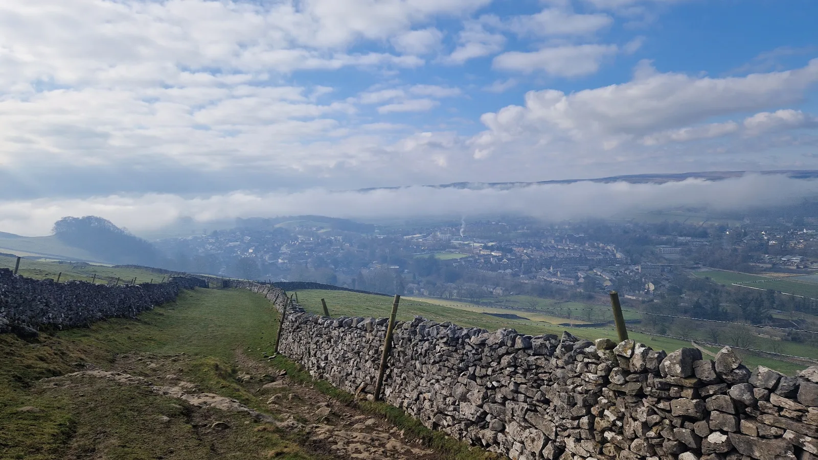
Two rock types shape the running here. Limestone gives you the pale pavements, dry valleys and fast green tracks around Malham, Settle and Ingleton — grippy when dry, slick when wet. Gritstone gives you the darker, boggier moor tops, where bog means exactly that: ground that holds water and stays soft long after rain. A beck is a stream, and you'll cross a few. None of it is hard to read once you know the words, and each route page spells out what's underfoot.
Route comparison
| Route | Distance | TRP Grade | Area | GPX |
|---|---|---|---|---|
| Aysgarth Falls and Bolton Castle Loop | 3.4km | Easy | Wensleydale | GPX |
| Malham Cove and Gordale Scar Circuit | 7.0km | Moderate | Malhamdale | GPX |
| Easy Malham Loop | 8.6km | Moderate | Malhamdale | GPX |
| Pen-y-ghent from Horton | 9.5km | Hard | Three Peaks | GPX |
| Bolton Abbey Loop | 10.9km | Moderate | Wharfedale | GPX |
| Whernside from Ribblehead | 13.1km | Hard | Three Peaks | GPX |
| Settle Loop | 14.3km | Hard | Settle | GPX |
| Malham Cove and Malham Tarn | 16.5km | Hard | Malhamdale | GPX |
| Buckden Pike from Buckden | 17.3km | Hard | Wharfedale | GPX |
| Wharfedale Three Peaks | 26.8km | Very Hard | Wharfedale | GPX |
| Yorkshire Three Peaks Circuit | 41.5km | Expert | Three Peaks | GPX |
| Kettlewell Ultra | 43.7km | Expert | Wharfedale | GPX |
First taste — easy and beginner-friendly
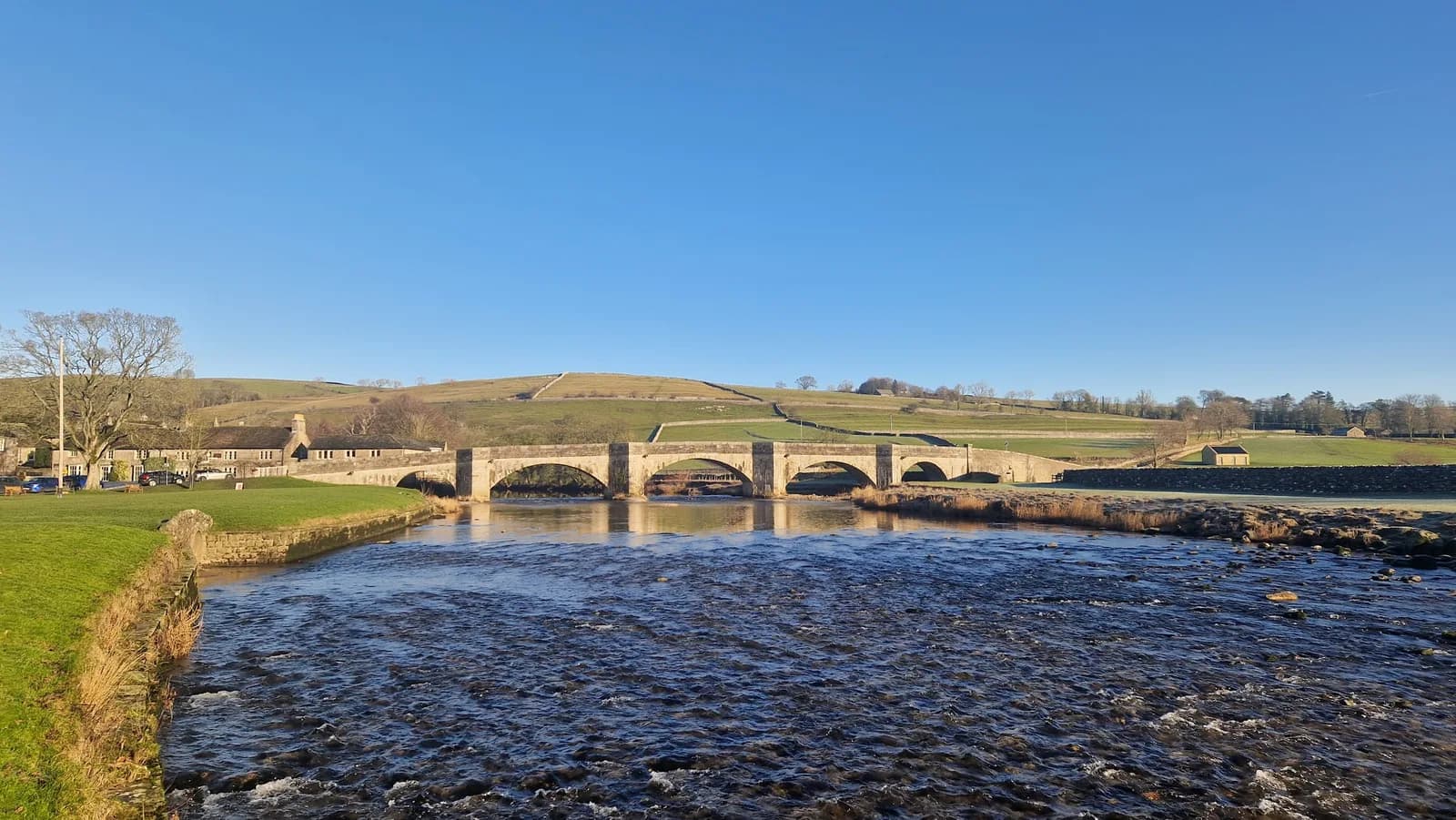
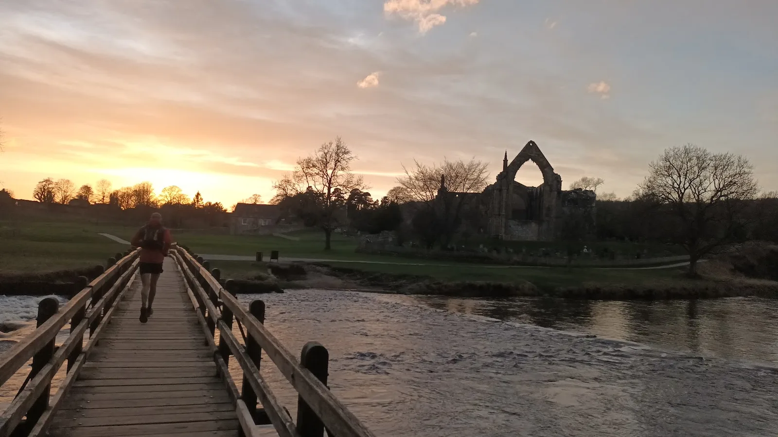
If you're new to trail running, or you just want something beautiful on tired legs, start in Wensleydale or Malhamdale. The Aysgarth Falls and Bolton Castle Loop is the gentlest run here at 3.4km — three waterfalls, a medieval castle, good ground throughout. The Easy Malham Loop (8.6km, around 143m of climb) gives you Malham's two famous limestone features on a near-flat circuit. Over in Wharfedale, the Bolton Abbey Loop (10.9km) follows the river past the priory and the Strid, one of the most dramatic river narrows in England, on mostly easy paths.
None of these need fell experience. They do need decent footwear if it's wet, because limestone gets slippery.
Classic Dales days
These are the routes most people picture when they think of the Dales. The Malham Cove and Gordale Scar Circuit (7.0km) packs two of England's most dramatic limestone features into one run, with a scramble up through Gordale Scar that catches most runners out in the best way — it's a hands-on step, so go up it rather than down, and skip it after heavy rain. The Malham Cove and Malham Tarn loop (16.5km) is the longer, flowing version. The Settle Loop (14.3km) is the one to do if you want a single run that explains why people rate Settle as a trail town: pavements, green lanes and big views for fairly modest effort, straight from the cobbles.
Summits and fells
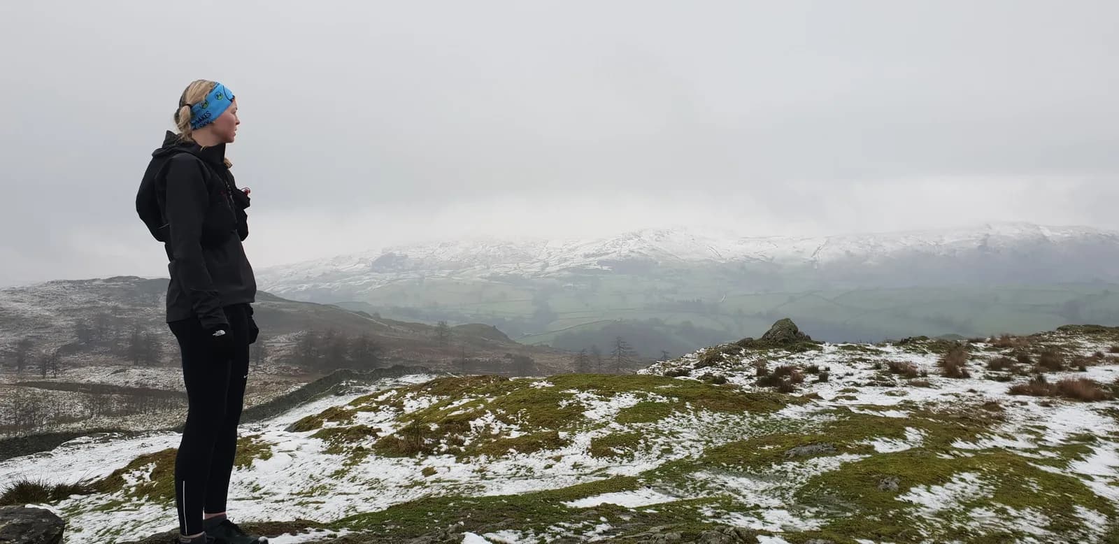
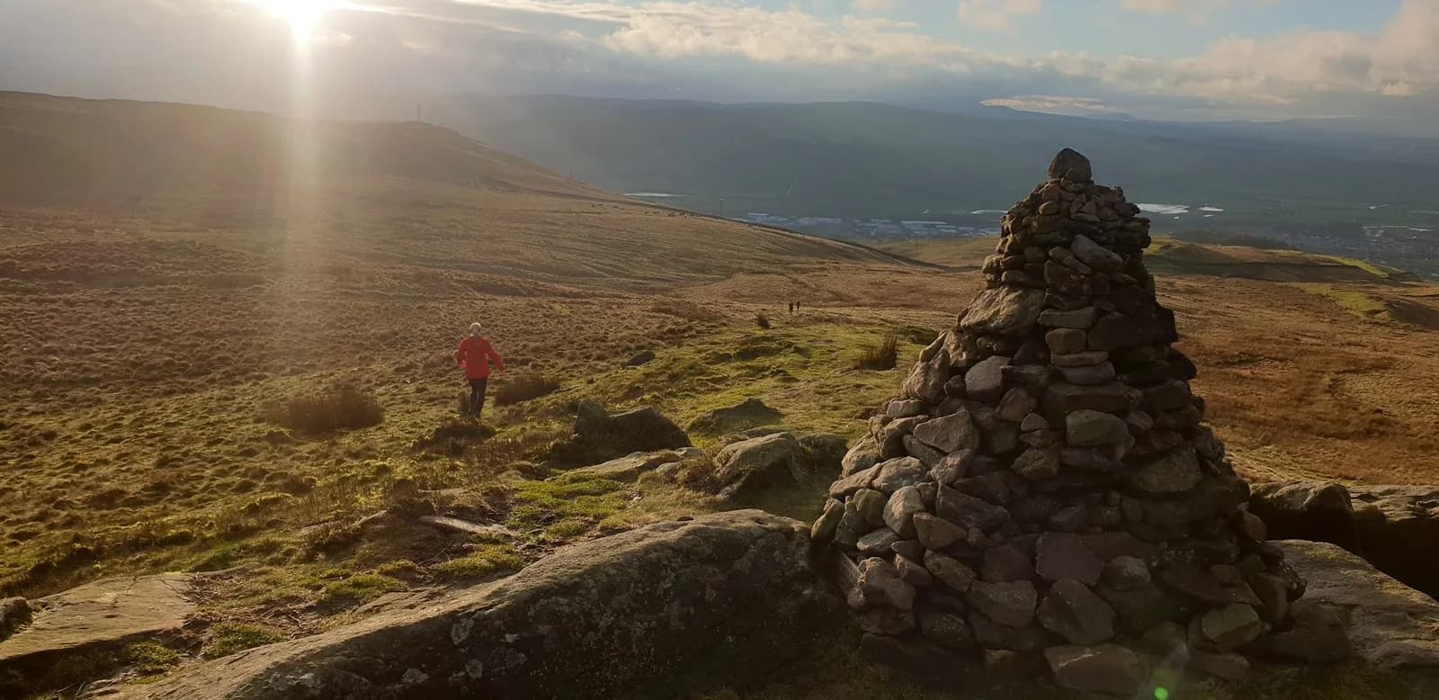
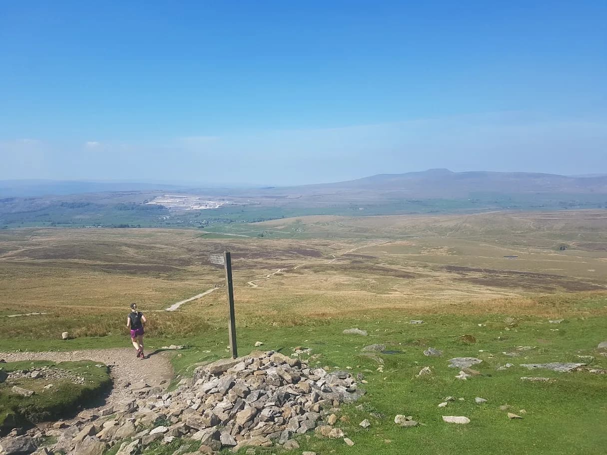
For a proper summit without a full mountain day, Pen-y-ghent from Horton (9.5km) is the pick — short, punchy, with a rocky step near the top that needs hands, and the most forgiving of the Yorkshire Three Peaks. Whernside from Ribblehead (13.1km) is the most efficient way to the highest of the three, with the Ribblehead Viaduct bookending the run. Buckden Pike from Buckden (17.3km) trades crowds for a steep grassy climb and one of the best viewpoints in the southern Dales. These are graded Hard for a reason: exposed tops, real weather, ground that slows you down. Treat them as mountain runs.
Big challenges
When you want a day that sorts out whether you ate breakfast, the Dales has the classics. The Yorkshire Three Peaks Circuit (41.5km, around 1,500m of climb, Expert) is the obvious target — Pen-y-ghent, Whernside and Ingleborough in one loop from Horton. The Wharfedale Three Peaks (26.8km, Very Hard) is the rougher, quieter cousin: no paved paths, proper bog, navigation you can't switch off. And the Kettlewell Ultra (43.7km, Expert) is a full ultra-distance day across limestone scars and wide moor. For all three, plan your food, check the forecast, and don't set off late — the weather makes the decisions on days like these.
Practical notes
Terrain and weather. Limestone is fast and grippy when dry, slick when wet; gritstone moor holds water and stays boggy. The tops carry their own weather — it can be still in the valley and blowing hard on Ingleborough. Check the forecast for the height you're running, not the village.
Parking and facilities. Most start points have a car park or roadside parking, listed with a grid reference on each route page. Malham, Horton, Kettlewell and Bolton Abbey get busy on summer weekends, so start early.
Shoes. For limestone and good tracks, a comfortable trail shoe is plenty. For boggy fell tops, you want aggressive lugs that clear mud.
Safety. On the high routes, carry a waterproof, food and offline navigation. In an emergency call 999 or 112, ask for Police then Mountain Rescue. No signal? Pre-register emergency SMS by texting register to 999, then text your location in an emergency.
FAQs
How many trail running routes are there in the Yorkshire Dales?
There are over 50 trail running routes across the Yorkshire Dales on Trail Running Planet, covering Wharfedale, Malhamdale, Ribblesdale, Wensleydale, Swaledale, Settle, the Three Peaks and the Skipton area. All include free GPX downloads and honest grading.
What is the easiest trail run in the Yorkshire Dales?
The Aysgarth Falls and Bolton Castle Loop at 3.4km is the gentlest, with three waterfalls and good ground throughout. The Easy Malham Loop at 8.6km is a good next step.
Can I run the Yorkshire Three Peaks in one go?
Yes. The Yorkshire Three Peaks Circuit is a 41.5km loop from Horton with around 1,500m of climbing, graded Expert. It is a full day out that needs fitness, navigation and a careful eye on the forecast.
Do I need a car to trail run in the Dales?
Not always. Settle and Horton-in-Ribblesdale are on the Settle to Carlisle railway, and Skipton on the edge of the park has frequent trains and moor on its doorstep. Each route page lists the nearest station and buses.
Do I need to register to download GPX files?
No. Every GPX download on Trail Running Planet is free, with no account, no email gate and no paywall.
Get new Dales routes as we run them
We add routes across the Yorkshire Dales most weeks — new summits, condition updates and the occasional wet-weather rerun. Browse every Yorkshire Dales route, or join the newsletter for a short, useful round-up you can act on.