Best Trail Runs From Settle: 10 Routes in Ribblesdale
Ten trail runs from Settle, 6.6km to 41.5km, all with free GPX, from Victoria Cave and the Stainforth waterfalls to the Three Peaks by train.
Ten of our routes start in Settle or further up Ribblesdale, from a 6.6 km loop to Victoria Cave to the 41.5 km Yorkshire Three Peaks Circuit, with 144 m to 1,505 m of climb. Six start in Settle itself. The other four start at Horton-in-Ribblesdale, Ribblehead and Chapel-le-Dale, all reachable on the Settle–Carlisle line. Every route has a free GPX file, with no account and no email needed, and every grade is honest, so a Hard here means the same as a Hard anywhere else on the site.
Why Settle works as a base
Settle station is on the Leeds to Settle to Carlisle line, with direct trains from Leeds, Skipton and Carlisle. It sits about 400 m from the market place, so you can step off the train and be running on limestone within minutes. The same line carries on up the dale to Horton-in-Ribblesdale and Ribblehead, both with their own stations right by the start of the Pen-y-ghent and Whernside routes. That makes Settle one of the few towns in the Dales where you can run all three of the Three Peaks without a car.
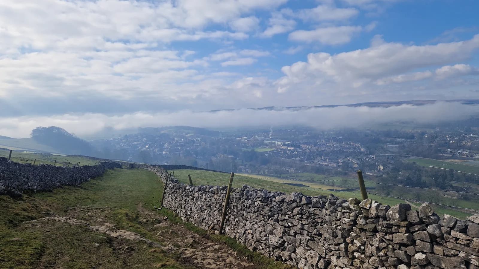
The town sits where the limestone meets the River Ribble, on the line of the Craven Fault. Step out of the market place in one direction and you're climbing onto Attermire Scar and the high ground above Langcliffe. Head the other way and you're on Giggleswick Scar. Follow the river north and you reach the waterfalls at Stainforth. Pen-y-ghent, Ingleborough and Whernside fill the skyline further up the dale.
For parking, Whitefriars pay and display is just off the market place, with 59 spaces, charges from 9am to 6pm and public toilets. Greenfoot pay and display is the other town-centre option and handy for the riverside. Market day is Tuesday, when the town fills early. Afterwards, Ye Olde Naked Man Cafe on the market place is a Settle institution for breakfast and cake, and Settle Down Café and the Lion at Settle are close by.
The routes at a glance
| Route | Distance | Ascent | Grade | Terrain | Type | Best for |
|---|---|---|---|---|---|---|
| Victoria Cave and Attermire Scar | 6.6 km | 276 m | Hard (E2·T3) | Fell, path | Loop | A short, steep hour from the market place |
| Pen-y-ghent from Horton-in-Ribblesdale | 9.5 km | 459 m | Hard (E3·T3) | Fell, moorland | Loop | A first Three Peaks summit |
| Settle, Stainforth and the Waterfalls | 9.8 km | 144 m | Moderate (E1·T2) | Path, woodland | Loop | An easier day when cloud is on the tops |
| Whernside from Ribblehead | 13.1 km | 457 m | Hard (E3·T3) | Fell, moorland | Loop | The highest of the three, from the station |
| Settle Loop | 14.3 km | 335 m | Moderate (E2·T2) | Path, fell | Loop | Year-round limestone running |
| Settle Limestone Loop | 15.2 km | 328 m | Moderate (E2·T2) | Path, fell | Loop | Giggleswick Scar and the Ribble |
| Ingleborough from Chapel-le-Dale | 15.6 km | 611 m | Hard (E3·T3) | Fell, path | Loop | Ingleborough and Southerscales pavement |
| Jubilee Cave and Stockdale Lane from Settle | 17.1 km | 438 m | Hard (E3·T2) | Path, fell | Loop | Fast running high above the town |
| Fountains Fell and Pen-y-ghent from Settle | 36.8 km | 966 m | Very Hard (E4·T3) | Fell, moorland | Loop | A town-to-summit long day |
| Yorkshire Three Peaks Circuit | 41.5 km | 1,505 m | Expert (E5·T3) | Fell, path | Loop | The big one |
Grades combine effort (E) and terrain (T). The grading explainer covers how we work them out. There's no route graded Easy on this list: even the gentlest run out of Settle has proper limestone underfoot.
Moderate: the best place to start
Settle, Stainforth and the Waterfalls
Settle, Stainforth and the Waterfalls is a 9.8 km loop north from Settle to Stainforth and back, with 144 m of climb. It's the gentlest route on this list and graded Moderate (E1·T2). Most runners take 70 to 95 minutes. The ground is a mix of riverside path, field track and quiet lane, and the navigation is straightforward.
It takes in two very different waterfalls on the Ribble. Stainforth Force is broad and stepped, with an old packhorse bridge above it and salmon leaping in autumn. Catrigg Force is tall and narrow, tucked into a deep wooded ravine above Stainforth and easy to miss without the sign. The riverside holds mud after rain, the limestone is slick when wet, and the ground around Catrigg Force is steep and rooty, so take care by the falls. There's water on the route, and it's recorded as a spring to autumn run. The Craven Heifer in Stainforth is handy partway round.
Settle, Stainforth and the Waterfalls: route & free GPX →
Settle Loop
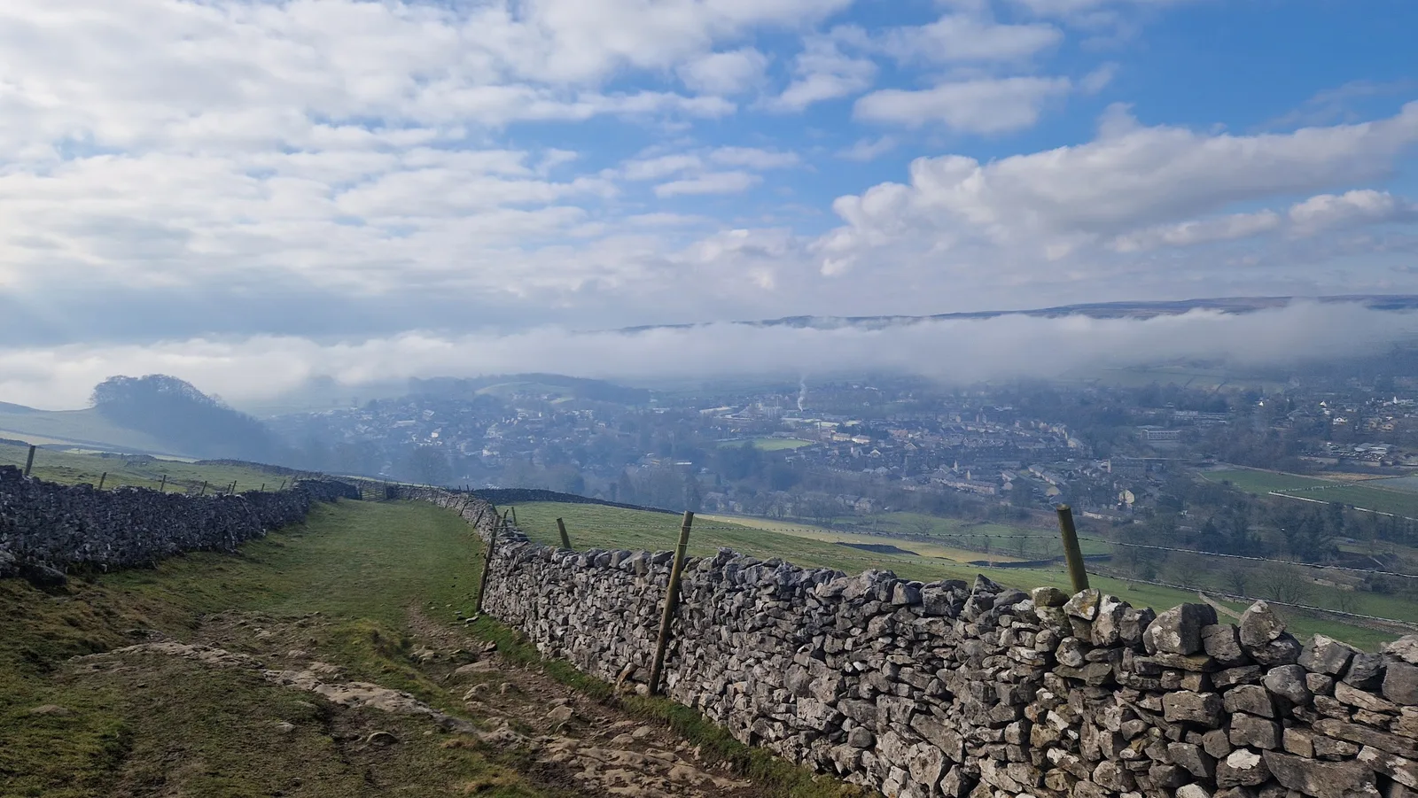
The Settle Loop is 14.3 km with 335 m of climb, graded Moderate (E2·T2). From Whitefriars car park it climbs steeply out of town onto the limestone upland, with wide views across Ribblesdale to Pen-y-ghent and Ingleborough, before looping back down to the valley. Expect 110 to 150 minutes.
This is the most reliable route in Settle. It has a mud rating of 2 out of 5, good tracks and clear paths, and it's the only route here that lists winter among its best seasons. The one thing to watch is limestone pavement, which gets slippery in the wet, and a few exposed edges above town. With mostly path underfoot and little mud, a light trail shoe is plenty, and road shoes cope in dry weather.
Settle Loop: route & free GPX →
Settle Limestone Loop
The Settle Limestone Loop is 15.2 km with 328 m of climb, graded Moderate (E2·T2), and takes most runners 115 to 155 minutes. It heads west onto Giggleswick Scar, runs north beneath Smearsett Scar to Stainforth, then comes back along the River Ribble to the market square.
It's a route of two halves: scar and walled pasture on the way out, gentler riverside on the way back. The climbing is steady rather than steep, so it stays runnable. The limestone is slick when wet, the open tops need a little care in cloud, and the riverside path holds mud after rain. The Ribble rises fast in spate, so be careful on the low path after heavy rain. It's recorded as a spring to autumn route. If you want to make a bigger day of it, Catrigg Force is a short climb from Stainforth.
Settle Limestone Loop: route & free GPX →
Hard: short and steep from the market place
Victoria Cave and Attermire Scar
Victoria Cave and Attermire Scar is the shortest route here at 6.6 km, but it has 276 m of climb, most of it front-loaded onto the scar. It's graded Hard (E2·T3) for the rough ground rather than the distance. Most runners take 55 to 80 minutes.
The climb starts a short distance from the station platform and goes straight to Victoria Cave, a huge cavern in the cliffs of Attermire Scar that has given up bones of hippopotamus, bear and hyena. The scar marks the Craven Fault, with Warrendale Knotts nearby. It's broken country of crag, scree and cave, and it has real cliff drops, so keep clear of the edges. The route is marked as needing map skills: once you're off the main path onto the open fell, carry a map and compass and know how to use them, because phone navigation alone isn't enough in cloud. The rough limestone needs a shoe with deep lugs and real grip. There's no water on the route.
Victoria Cave and Attermire Scar: route & free GPX →
Jubilee Cave and Stockdale Lane from Settle
Jubilee Cave and Stockdale Lane from Settle is a 17.1 km loop with 438 m of climb, graded Hard (E3·T2), and usually takes 135 to 180 minutes. It's the newest route on this list. It overlaps only partly with the Settle Loop, so it's a good second route once you know that one.
It climbs straight out of town above Langcliffe, gaining over 150 m in the first 2 km, to reach Jubilee Cave in Langcliffe Scar at about 3.5 km. Victoria Cave is a short detour a few hundred metres south. From there the route holds 400 to 450 m for several kilometres on grassy tracks between walls and clints, with views north up Ribblesdale and east towards Malham Moor. At around 8 km it turns south and climbs to the high point of the day on Stockdale Lane, at roughly 520 m. It then follows the Pennine Bridleway past Stockdale Farm, below Attermire Scar and Warrendale Knotts, and finishes on steep tarmac back into Settle.
The Hard grade comes from the distance and the early climb. The terrain itself is kind, with no scrambling, no bog to speak of and clear tracks. But the upland between Jubilee Cave and Stockdale Lane is open and featureless in cloud, so know where you're turning south. Cattle graze the Stockdale and Attermire pastures, and the limestone clints are lethal when wet or icy. With a mud rating of 2 out of 5 on path and track, a light trail shoe is plenty. There's no water on the route, so carry what you need.
Jubilee Cave and Stockdale Lane from Settle: route & free GPX →
Hard: the Three Peaks, one at a time
Three of the routes here are the best short ways to run each of the Yorkshire Three Peaks on its own. All three start further up the Settle–Carlisle line, so you can do them by train from Settle.
Pen-y-ghent from Horton-in-Ribblesdale
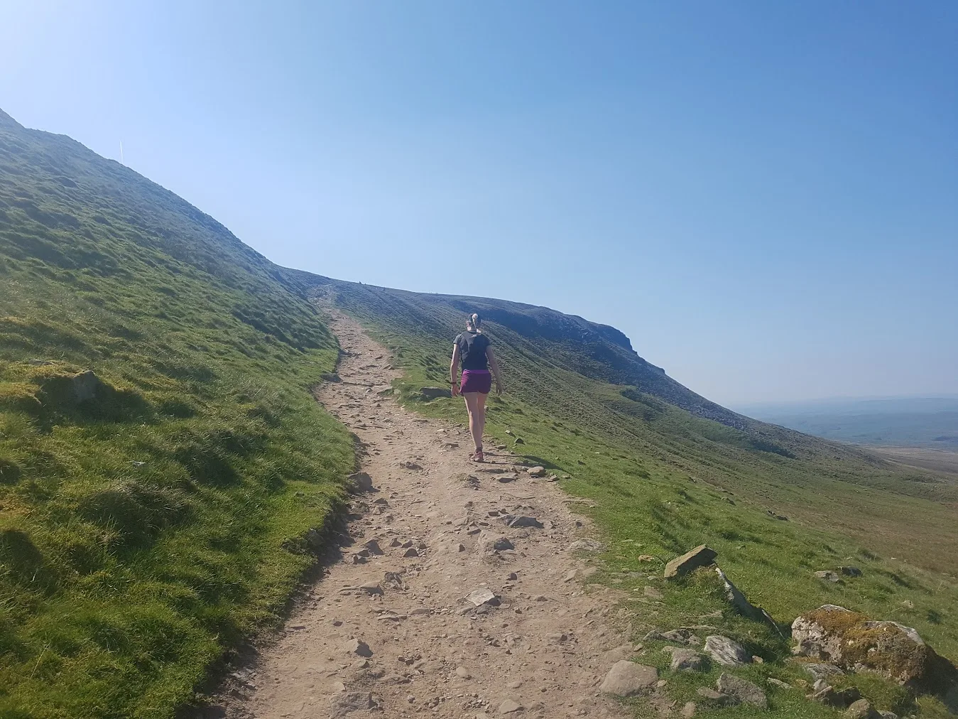
Pen-y-ghent from Horton-in-Ribblesdale is the classic 9.5 km circuit, with 459 m of climb concentrated into the upper half. It's graded Hard (E3·T3), and most runners take 85 to 115 minutes. Horton-in-Ribblesdale station is a short distance from the start.
The route follows lanes and tracks before climbing Pen-y-ghent's stepped southern ridge. Near the top there's a short rocky step where you'll use your hands briefly to pull over the gritstone band. It's the one technical moment of the route and needs care in the wet or ice. Above it the angle eases to the 694 m summit, with views across Ribblesdale to Ingleborough and Whernside. The descent follows the Pennine Way north before turning back towards Horton on good, fast tracks.
The top is exposed to weather, and the surrounding moorland is managed for grouse, with shooting from August to December. You'll want deep-lug shoes and a windproof and waterproof layer, because there's no shelter once you're up. There's no water on the route. The Pen-y-ghent Cafe is closed, but the Crown Hotel in Horton serves food and drink.
Pen-y-ghent from Horton-in-Ribblesdale: route & free GPX →
Whernside from Ribblehead
Whernside from Ribblehead is a 13.1 km loop over Whernside, the highest of the Three Peaks at 736 m, with 457 m of climb. It's graded Hard (E3·T3) and takes 110 to 145 minutes. Ribblehead station is right at the start, and the DalesBus stops at the Station Inn.
The route follows the line of the railway past the Ribblehead Viaduct before climbing onto Whernside's long northern ridge. A wall guides you along the crest to the summit, with views over Ingleborough, Pen-y-ghent and out to Morecambe Bay and the Lake District fells. The ridge is narrow and fully exposed to wind, and the steep descent off the far side is awkward when wet. The lower return is persistently boggy, with a mud rating of 4 out of 5. Wear deep-lug shoes with real grip and carry a waterproof. There's no water on the route, but the Station Inn, the station cafe and the seasonal visitor centre cafe are all at the start.
Whernside from Ribblehead: route & free GPX →
Ingleborough from Chapel-le-Dale
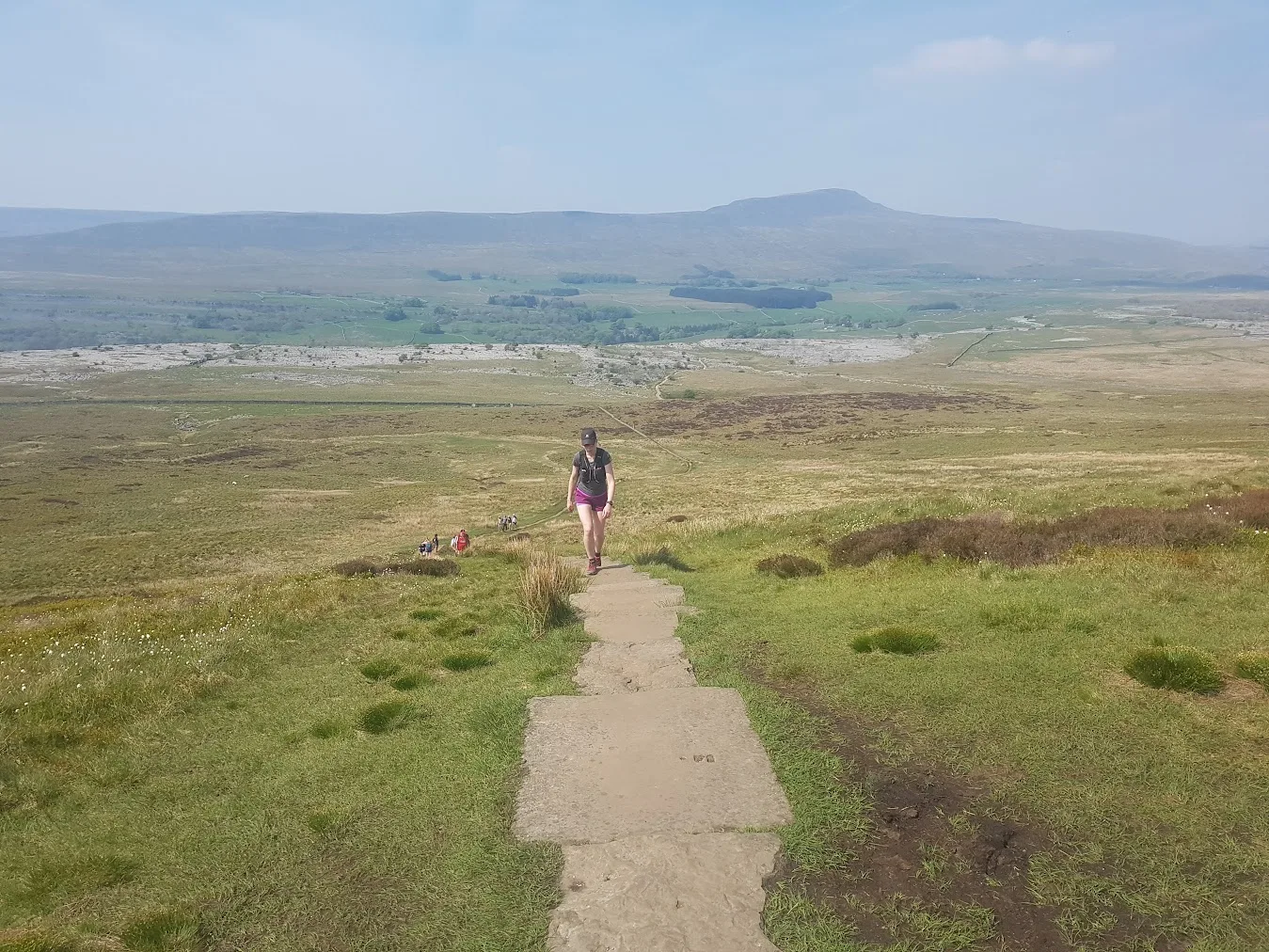
Ingleborough from Chapel-le-Dale is a 15.6 km loop with 611 m of climb, the most climbing of the three single-peak routes. It's graded Hard (E3·T3) and takes 135 to 180 minutes. It's the hardest of the ten to reach without a car. Ribblehead station is 3 km away, and there's an infrequent bus from Settle. By car, there's a small free car park at Horton Road, Chapel-le-Dale, with limited spaces, so arrive early at weekends.
The route climbs through the National Nature Reserve limestone pavement at Southerscales, all clints and grykes, before a steep pull onto the ridge. Ingleborough's 723 m summit is the largest plateau of any fell in the Dales, nearly 1 km across, with the Iron Age hillfort ramparts still visible around its edge. That plateau is the hazard: it can sit in cloud even when it's clear lower down, and navigation gets hard in poor visibility. Take care in the grykes on the pavement too, as they're easy to turn an ankle in. You'll want deep-lug shoes and a waterproof. There are no toilets and no water on the route. The Hill Inn at Chapel-le-Dale does food.
Ingleborough from Chapel-le-Dale: route & free GPX →
Very Hard and Expert: the big days
Fountains Fell and Pen-y-ghent from Settle
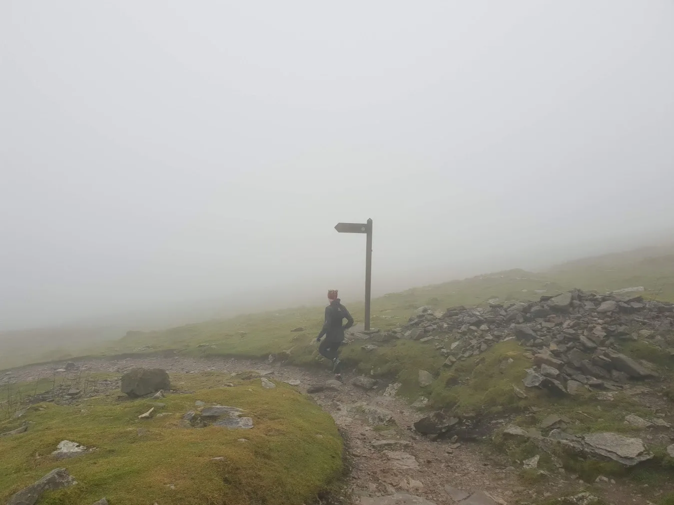
Fountains Fell and Pen-y-ghent from Settle is a 36.8 km loop from the market place with 966 m of climb, graded Very Hard (E4·T3). Most runners take between 4 hours 50 minutes and 6 hours 30 minutes. It's the longest route here that starts and finishes in Settle, and with the station on the doorstep it's one of the most car-free-friendly big loops in the Dales.
The first kilometres are on lanes and tracks, climbing steadily out of Ribblesdale, before the ground turns to rough moorland over Fountains Fell. It's a lonely, boggy fell scattered with old coal pits. The route then drops and climbs again to Pen-y-ghent at 694 m, where the short rocky step near the top is the technical crux of the day. From the summit it heads back down into Ribblesdale and the long run home to Settle.
This one needs respect. There are open mine shafts on Fountains Fell, persistent bog (a mud rating of 4 out of 5) and full weather exposure on the tops. It's long enough that conditions can change before you finish. The route is marked as needing map skills, and Fountains Fell's broad top can confuse in poor light, so carry a map and compass and know how to use them. Take food and a proper water carry, not a handheld, because there's no water on the route. You'll also want deep-lug shoes and a windproof and waterproof layer. It's a spring to autumn route.
Fountains Fell and Pen-y-ghent from Settle: route & free GPX →
Yorkshire Three Peaks Circuit
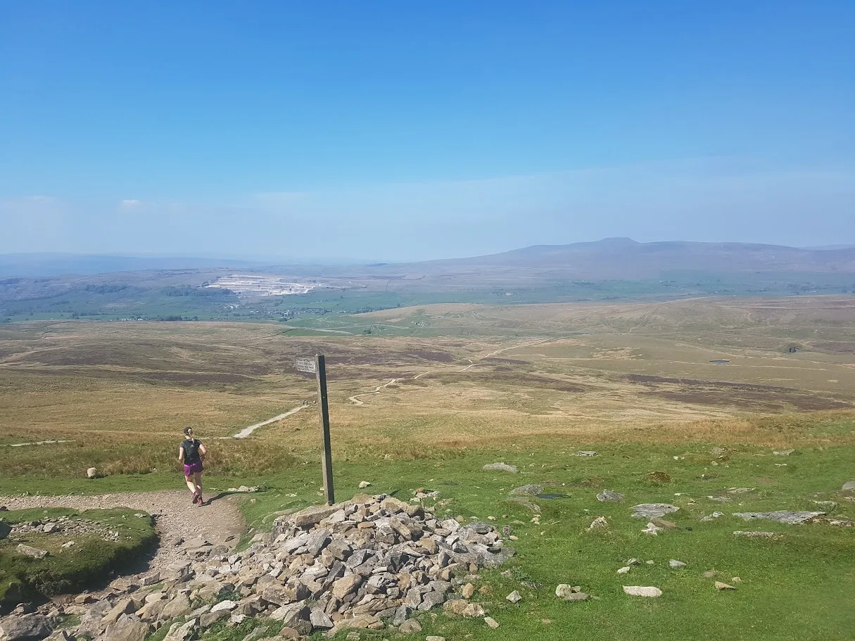
The Yorkshire Three Peaks Circuit is 41.5 km with 1,505 m of climb, graded Expert (E5·T3). Most runners take between 5 hours 50 minutes and 7 hours 50 minutes. It links Pen-y-ghent (694 m), Whernside (736 m) and Ingleborough (723 m) in the traditional direction, starting and finishing in Horton-in-Ribblesdale, which is on the Settle–Carlisle line. The Three Peaks Race is held on the route every April, and it's one of Britain's oldest fell races.
The route is well signed, but it's long, with a lot of distance between sheltered sections. The boggy ground between Ribblehead and Ingleborough can be brutal after rain, and navigating the Ingleborough plateau in cloud can be tricky despite the waymarking. Carry a map and compass as backup. Take food and a proper water carry, since there's no water on the route; most runners carry 1.5 to 2 litres. You'll want deep-lug shoes and a windproof and waterproof layer too. The Horton car park is pay and display from 6am to midnight and it's a popular start, so arrive early. The Crown Hotel serves food and drink at the finish.
Yorkshire Three Peaks Circuit: route & free GPX →
Practical notes
Getting there without a car. Settle station, on the Leeds to Settle to Carlisle line, has direct trains from Leeds, Skipton and Carlisle, and five routes start within a short run of the platform: the Settle Loop, the Limestone Loop, Victoria Cave, Jubilee Cave and Fountains Fell. The Stainforth loop also starts from the town. Horton-in-Ribblesdale station serves Pen-y-ghent and the Three Peaks Circuit, and Ribblehead station is right at the start of Whernside. Chapel-le-Dale is 3 km from Ribblehead station, with an infrequent bus from Settle.
Parking. In Settle, use Whitefriars (just off the market place, charged 9am to 6pm) or Greenfoot (close to the riverside). Town-centre parking is limited on Tuesday market days. Horton-in-Ribblesdale has a National Park pay and display car park with toilets, charging from 6am to midnight. Ribblehead has roadside and pay and display parking, with free parking for Station Inn customers. Chapel-le-Dale has a small free car park at Horton Road.
Terrain and mud. Almost everything here is limestone, and limestone is slick when wet and treacherous when icy. The three Moderate routes have mud ratings of 2 to 3 out of 5. The fell routes run up to 4 out of 5, with the worst bog on Whernside's lower slopes, Fountains Fell and the stretch between Ribblehead and Ingleborough.
Seasons. Only the Settle Loop lists winter among its best seasons. The other nine are recorded as spring to autumn routes. If you're heading out in winter, the Settle Loop is the one to pick.
Safety. Nine of these ten routes cross open fell or moorland at some point, and the Three Peaks tops, Fountains Fell and Ingleborough's plateau are fully exposed to weather. Check the safety page before a big day.
In an emergency call 999 or 112, ask for Police, then Mountain Rescue. If you have no signal you can text 999, but you have to pre-register first — text "register" to 999.
Kit. For the three Moderate loops, a trail shoe with decent grip covers you, and on the Settle Loop and Jubilee Cave a light trail shoe is plenty in the dry. For everything that goes onto the fell, you'll want deep-lug shoes, a windproof and waterproof layer, and a map and compass on Victoria Cave and Fountains Fell. On the two big days, carry food and a proper water carry. Seven of the ten routes have no water on the way round. Our kit guides go into more detail.
Free GPX, condition reports and photos
Every route in this guide has a free GPX download on its route page, with no account and no email signup. Load it onto your watch or phone and go. If you've run one of these recently, add a condition report on the route page. It's the quickest way for the next runner to find out whether Stockdale Lane is rutted or the Whernside descent is a bog. We're also after photos, especially of Victoria Cave, Jubilee Cave, the Stainforth waterfalls and Whernside, where we don't have any yet. For more routes across the national park, see the Yorkshire Dales hub.
FAQ
Where can I run trails near Settle?
Trail Running Planet lists ten routes from Settle and Ribblesdale, from 6.6 km to 41.5 km. Six start in Settle itself, including the Settle Loop, Victoria Cave and Attermire Scar, and Jubilee Cave and Stockdale Lane. The other four start at Horton-in-Ribblesdale, Ribblehead and Chapel-le-Dale, further up the Settle–Carlisle line.
What is the easiest trail run from Settle?
Settle, Stainforth and the Waterfalls is the gentlest: 9.8 km with 144 m of climb, graded Moderate (E1·T2), on riverside path, field track and lane. None of the routes from Settle is graded Easy, because even the gentlest has limestone underfoot. For a year-round option, the 14.3 km Settle Loop is also Moderate, with a mud rating of 2 out of 5.
What is the hardest trail run from Settle?
The Yorkshire Three Peaks Circuit is the hardest: 41.5 km with 1,505 m of climb, graded Expert (E5·T3), over Pen-y-ghent, Whernside and Ingleborough from Horton-in-Ribblesdale. The hardest route that starts in Settle itself is Fountains Fell and Pen-y-ghent, a 36.8 km loop with 966 m of climb, graded Very Hard.
Can I run from Settle without a car?
Yes. Settle station on the Leeds to Settle to Carlisle line is about 400 m from the market place, and six of the routes start in the town. Pen-y-ghent and the Three Peaks Circuit start near Horton-in-Ribblesdale station, and Whernside starts right at Ribblehead station. Only Ingleborough from Chapel-le-Dale is awkward, 3 km from Ribblehead station with an infrequent bus from Settle.
Which Settle routes are worth running in winter?
The Settle Loop is the only one of the ten that lists winter among its best seasons. It's 14.3 km on good tracks and clear paths with a mud rating of 2 out of 5. Every other route is recorded as spring to autumn. On all of them, limestone pavement is slippery when wet and dangerous when icy.
Do I need a map and compass around Settle?
On some routes, yes. Victoria Cave and Attermire Scar, and Fountains Fell and Pen-y-ghent, are both marked as needing map skills. The Three Peaks Circuit is waymarked, but its hazard notes still say to carry a map and compass as backup for the Ingleborough plateau in cloud. The open upland on Jubilee Cave and Stockdale Lane is featureless in cloud too.
Is grouse shooting an issue on these routes?
On Pen-y-ghent it can be. The moorland around the Pen-y-ghent from Horton-in-Ribblesdale route is managed for grouse, with shooting from August to December. The southern ridge can be busy on shoot days, so check before you travel.
Are the GPX files free?
Yes. Every route on Trail Running Planet has a free GPX download on its route page, with no account and no email signup required.
Every route in this guide, and the rest within 15 km, is on the Routes near Settle page: 22 routes, each with a free GPX file and a TRP grade.