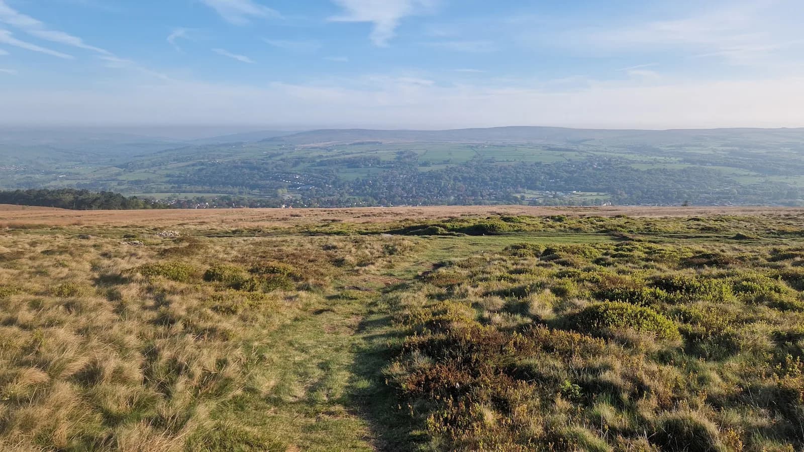
10 of the Best Trail Running Routes Near Ilkley
Ten trail runs from Ilkley, 7.7km to 35.1km, all with free GPX — from a bluebell wood loop to the 35km Ilkley Skyline.
Ten of our routes start in Ilkley or within five miles of it, from a 7.7 km loop on Ilkley Moor to the 35.1 km Ilkley Skyline, with 98 m to 808 m of climb. Seven of the ten start in the town itself. Every one has a free GPX file, no account and no email needed, and every one is graded honestly, so a Moderate here means the same thing it means everywhere else on the site.
Why Ilkley works as a base
The station is the reason. Ilkley is the terminus of the Wharfedale line with roughly 35 trains a day each to Leeds and Bradford Forster Square, and Northern run hourly direct from Leeds in around 27 to 29 minutes. Ilkley bus station adds services to Keighley, Skipton, Otley and Leeds, including the X84, and the 62 and 64 run west to Addingham and Skipton. That puts genuine moorland inside a half-hour train ride of central Leeds.
The geography does the rest. Rombalds Moor rises straight out of the south side of town and carries over 400 cup-and-ring marked stones across it. Across the Wharfe to the north, Beamsley Beacon and the Denton Moor watershed give a second, quieter set of tops. You can run either side from the same car park.
For starts, Riverside Gardens car park on Bridge Lane is free and open 24 hours with a cafe, a playground and toilets, though it is small and fills fast at weekends; Denton Road (93 spaces) and South Hawksworth Street (188 spaces) are the paid fallbacks. The free Cow and Calf car park on Hangingstone Road sits already on the moor, with toilets and a cafe on site, and it permits overnight motorhome parking. Afterwards there is Bettys on The Grove, Toast House on Leeds Road, and Outside the Box, the community cafe in The Arcade.
The routes at a glance
| Route | Distance | Ascent | Grade | Terrain | Type | Best for |
|---|---|---|---|---|---|---|
| The Twelve Apostles and Rombalds Moor Trig from the Cow and Calf | 7.7 km | 248 m | Moderate (E2·T2) | Moorland, path | Loop | The best hour on Ilkley Moor |
| Middleton Woods and Nesfield from Ilkley | 7.8 km | 113 m | Moderate (E1·T2) | Woodland, path | Loop | A first run off road |
| Beamsley Beacon from Addingham | 8.0 km | 306 m | Moderate (E2·T2) | Moorland | Point-to-point | A summit in an evening |
| Ilkley Moor from the Cow and Calf | 9.5 km | 287 m | Moderate (E2·T2) | Moorland, path | Loop | A short, honest moor loop |
| Bolton Abbey Loop | 10.9 km | 98 m | Moderate (E2·T1) | Path, woodland | Loop | Flat riverside and recovery days |
| Burley Moor Stone Circles from the Cow and Calf | 11.6 km | 320 m | Hard (E2·T3) | Moorland, fell | Loop | Stone circles and empty moor |
| Ilkley to Rombalds Moor Loop | 15.6 km | 373 m | Hard (E2·T3) | Moorland | Loop | Moor distance straight from the station |
| Beamsley Beacon and Lippersley Pike from Ilkley | 18.7 km | 483 m | Hard (E3·T3) | Moorland, fell | Loop | Three tops north of the Wharfe |
| Ilkley, Rombalds Moor, Roman Road and Addingham | 28.7 km | 565 m | Hard (E3·T3) | Moorland, path | Loop | A long steady day on mixed ground |
| The Ilkley Skyline | 35.1 km | 808 m | Very Hard (E4·T3) | Moorland, fell | Loop | The biggest day the valley offers |
Grades are explained in full on the TRP grading page. The first number is effort, the second is terrain, and the label follows whichever is higher.
Short runs straight from the town centre
Middleton Woods and Nesfield from Ilkley
7.8 km and 113 m of climb from Riverside Gardens, Moderate (E1·T2), and 55 to 75 minutes for most people. The route crosses the Wharfe, takes its only real gradient at Curly Hill inside the first 1.3 km, then runs into Middleton Woods — at 38 hectares the largest remaining ancient semi-natural woodland in West Yorkshire, left to Bradford Council in 1937 by a wool merchant named Arthur Hentzen. It drops to the hamlet of Nesfield at 4.2 km and returns over Ilkley Old Bridge at 7.3 km, the seventeenth-century packhorse bridge that is the official start of the 78-mile Dales Way.
This is the route to hand someone who has never run off road, and the obvious choice when the moor is a bog. The drawback is the woodland surface: roots, rough steps and stream crossings that turn greasy after rain, and bracken on the valley sides that is prime tick habitat from spring onwards, so check yourself afterwards. Mud rating 3 on woodland paths means a light trail shoe with some bite rather than a road shoe, and the bluebell weeks in late April bring a lot of people into a small wood.
Full details, map and free GPX: Middleton Woods and Nesfield from Ilkley
The Twelve Apostles and Rombalds Moor Trig from the Cow and Calf
7.7 km, 248 m, Moderate (E2·T2), 65 to 85 minutes. From the free Cow and Calf car park the route runs west below the crags past White Wells at 1.6 km, climbs a broad stony moor track to the 402 m trig at 4.3 km — the highest point of the whole Rombalds Moor massif, standing on a prehistoric burial cairn — then reaches the Twelve Apostles at 5.5 km, twelve millstone grit stones in a ring about fifteen metres across, and drops back via Gill Head and Haystack Rock.
It is the most moor per kilometre available from Ilkley. The catch is that the summit plateau is genuinely featureless and sits in cloud more often than 402 m suggests, so carry a compass even on a loop this short, and the peat between the trig and the Apostles stays wet most of the year. Deep-lug shoes and a map and compass you can actually use: phone navigation alone is not enough up there, and the quarry and crag tops around the Cow and Calf are unfenced. Ilkley Harriers race this ground as the 8 km Ilkley Moor Fell Race on the first Sunday in March.
Full details, map and free GPX: The Twelve Apostles and Rombalds Moor Trig from the Cow and Calf
Ilkley Moor from the Cow and Calf
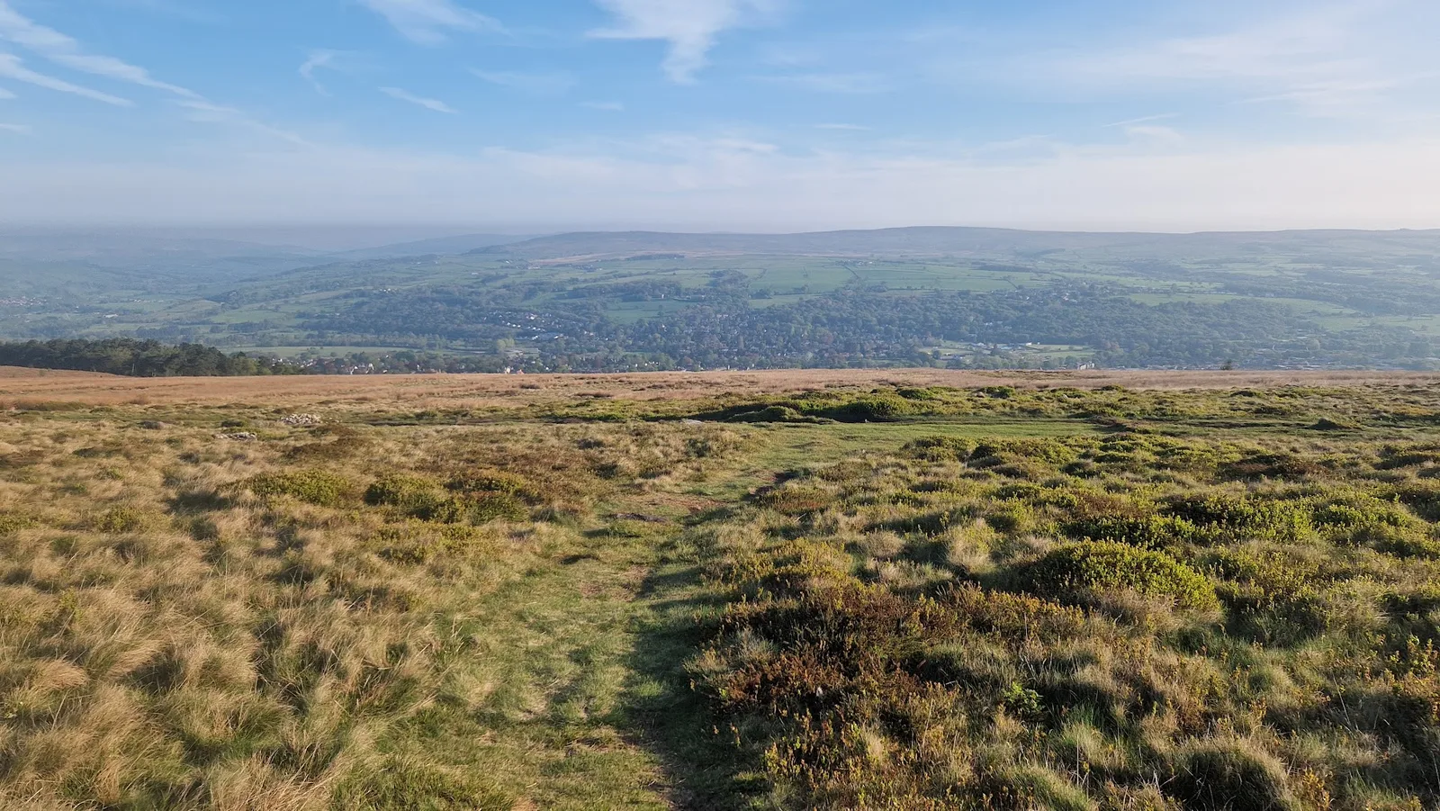
9.5 km, 287 m, Moderate (E2·T2), 75 to 105 minutes, and the climb is front-loaded so most of the loop runs across the broad top. This is the moor of the song, and the version of it that TRP has run rather than only checked on the map. Once you leave the crags the ground turns to heather, peat and gritstone, with the Twelve Apostles out on the watershed.
Mud rating 4 and best seasons that stop at autumn tell you what this is: spring to autumn running, with the peat holding standing water for much of the rest. Deep-lug shoes, a windproof and waterproof layer because there is no shelter once you are up, and no water on the route itself. Keep clear of the crag edges at the start.
Full details, map and free GPX: Ilkley Moor from the Cow and Calf
Bigger days on Rombalds Moor
Burley Moor Stone Circles from the Cow and Calf
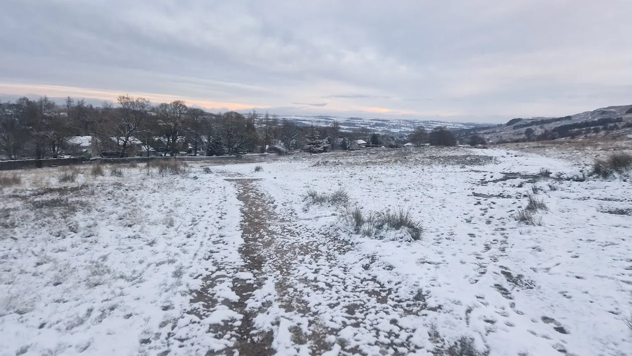
11.6 km, 320 m, Hard (E2·T3), 90 to 125 minutes, 97% runnable. The circuit links the Badger Stone at 4.2 km — a twelve-foot gritstone block carved with around a hundred cups and ten rings — the 402 m trig at 5.5 km, the Twelve Apostles at 6.8 km and the Grubstones ring cairn at 7.9 km, then crosses Burley Moor east to Coldstone Beck at 9.5 km before returning along the edge past Haystack Rock.
The grade is a terrain grade, not a climbing one. Between the Grubstones and Coldstone Beck it is blanket bog with faint paths, nothing to steer by in poor visibility, and a long way from a road. That section is the whole reason this loop is graded above its ascent. Deep-lug shoes, a windproof and waterproof layer, and map and compass skills rather than a phone. Two hazards to carry with you: Ilkley Moor itself stopped hosting grouse shooting in April 2018, but the neighbouring moors still shoot between 12 August and December, so check access restrictions if you extend east; and no fires of any kind, because the moor burned badly in 2006 and again in 2019. The Rombalds Stride, 23 miles from Guiseley in early February, crosses this moor.
Full details, map and free GPX: Burley Moor Stone Circles from the Cow and Calf
Ilkley to Rombalds Moor Loop
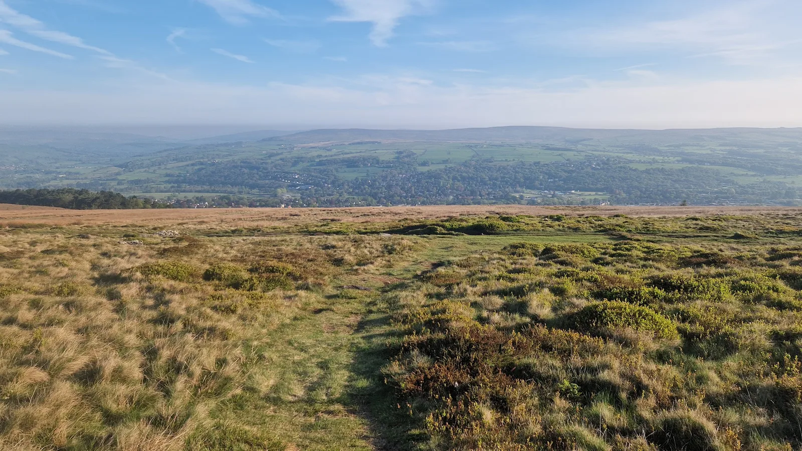
15.6 km, 373 m, Hard (E2·T3), 2 hours to 2 hours 40, and 98% runnable. The climbing is gentle and spread out rather than concentrated in one pull, which makes this the best route here for building moorland confidence at distance. It crosses the high plateau shared between Ilkley, Burley, Hawksworth, Bingley and Morton moors, passing the Cow and Calf early as a landmark if visibility drops. Parts of the moor now fall inside the Bradford Pennine Gateway National Nature Reserve.
It is also the one you can run entirely on a train ticket: Northern run hourly direct from Leeds to Ilkley in around 27 to 29 minutes, and the free Hangingstone Road car park has toilets and a small cafe on site if you do drive. Mud rating 3 and a terrain score of 3 mean deep-lug shoes, and the paths are well used but heather moor disorientates quickly in mist. Ground-nesting birds are on the moor in spring, so dogs stay on the main tracks and under close control between March and July.
Full details, map and free GPX: Ilkley to Rombalds Moor Loop
Ilkley, Rombalds Moor, Roman Road and Addingham
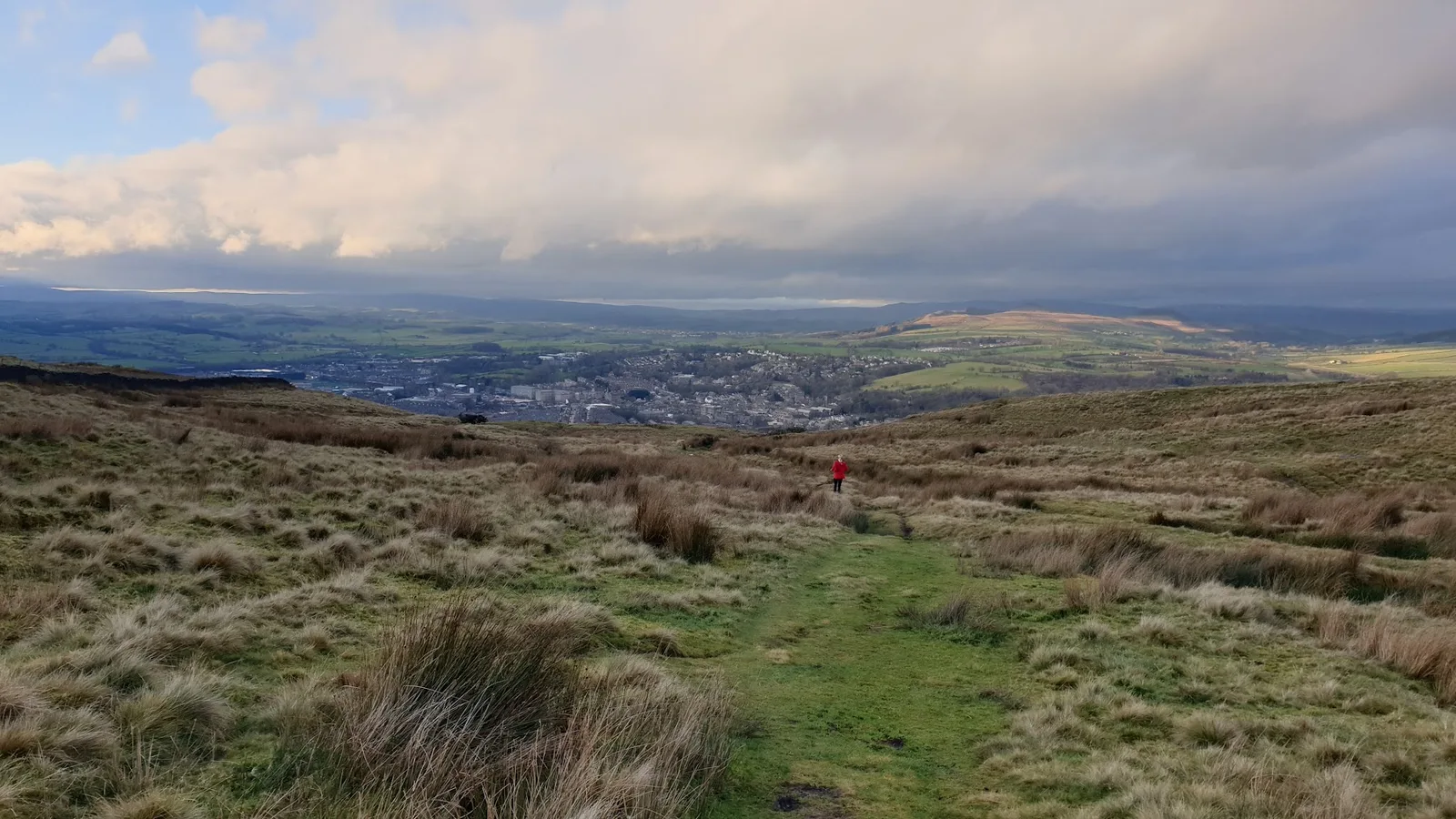
28.7 km, 565 m, Hard (E3·T3), and 3 hours 35 to nearly 5 hours. This one climbs onto the shoulder of Rombalds Moor on green roads like Parson's Lane, then returns through the pasture and river paths of the lower Wharfe past Addingham, a village of old weavers' cottages and three churches. There is no single hard climb; the difficulty is the length and the mix.
Runnability is recorded at 100%, which is unusual for moor-edge ground and tells you the tracks are solid. The honest drawback is that there are no toilets and no water on the route, and the moor edge is exposed and boggy after rain with tracks that fade in cloud. Carry food and a proper water carry rather than a handheld, take a map, and expect grouse shooting to affect parts of the moor between August and December. Addingham has shops and pubs if you need a mid-route stop.
Full details, map and free GPX: Ilkley, Rombalds Moor, Roman Road and Addingham
Across the valley: Beamsley Beacon and the northern moors
Beamsley Beacon from Addingham
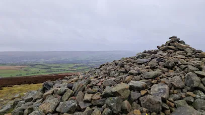
8.0 km, 306 m, Moderate (E2·T2), 70 to 90 minutes, 94% runnable, and the only point-to-point in the set. It climbs out of Addingham in one direct pull to Beamsley Beacon at 393 m and finishes on the Bolton Abbey side of the hill. The summit carries Bronze Age burial cairns around the trig point and, just south of it, the wreckage site of a Second World War aircraft.
Because it finishes away from its start, sort your return before you set off — buses 62 and 64 link Addingham with Ilkley and Skipton, or treat it as an out-and-back. Addingham has on-street parking, free before 8am and after 6pm, with no dedicated free car park in the village. The open grassland to the summit is slippery when wet and the top has no shelter from the wind; mud rating 3 on moorland means grip matters, and there is no water on the route. Best from spring to autumn.
Full details, map and free GPX: Beamsley Beacon from Addingham
Beamsley Beacon and Lippersley Pike from Ilkley
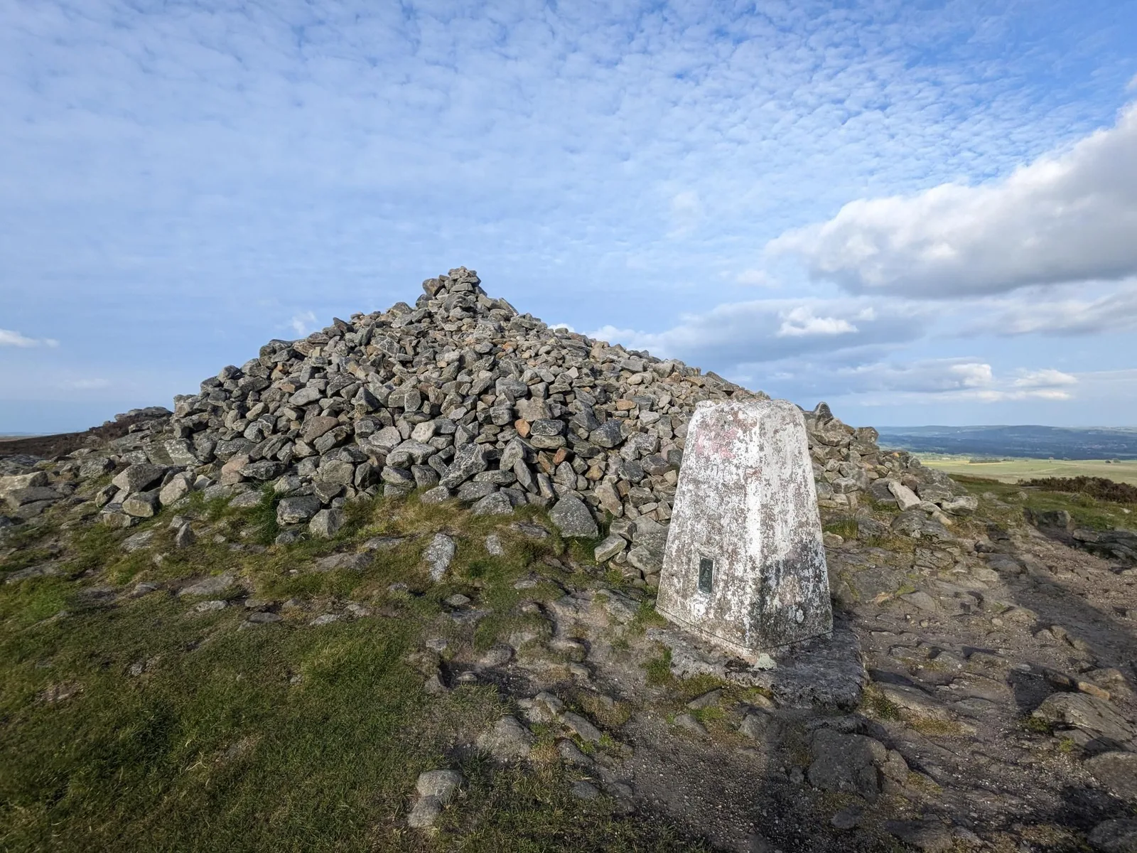
18.7 km, 483 m, Hard (E3·T3), 2 hours 25 to 3 hours 15. The full northern loop: out from Riverside Gardens over the Old Bridge, gently northwest for five kilometres, then a steep pull to Beamsley Beacon at 6.8 km, where the Bronze Age cairn is twelve metres across and over two metres high and was used as a Napoleonic warning beacon, recorded as such in the Bolton Abbey registers of 1803. That summit is the southeastern corner of the Yorkshire Dales National Park. The route then runs the watershed east over Round Hill, the high point of the day, to Lippersley Pike at 12 km and 330 m, where a shooting butt is built into the summit cairn and boundary stones dated 1757 stand along the ridge, before dropping to Curly Hill at 17.5 km.
Run it clockwise as described: the big climb comes early and the last five kilometres are runnable. The three kilometres of heather between Round Hill and Lippersley Pike is open, wet and short of features, and needs a map and compass in cloud. Deep-lug shoes and a windproof and waterproof layer, because there is no shelter and nothing to refill from once you leave the lanes — 14 km of this route has no shop. Denton, Askwith and Blubberhouses are working driven grouse moors where access land can be closed for up to 28 days a year, so check the Natural England restrictions before travelling, particularly from 12 August.
Full details, map and free GPX: Beamsley Beacon and Lippersley Pike from Ilkley
A short hop out of town
Bolton Abbey Loop
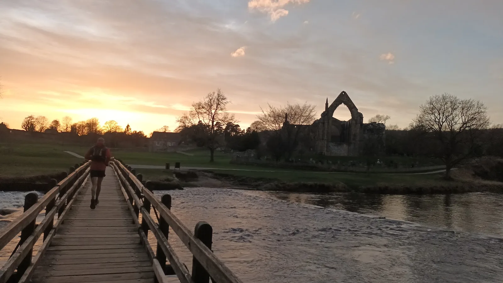
10.9 km with 98 m of climb, Moderate (E2·T1), 75 to 100 minutes, 99% runnable and mud rating 2 — the flattest, driest route in this guide and the one that stays good all winter. It follows both banks of the Wharfe through the Bolton Abbey estate, past the Cavendish Pavilion at around 2 km, the Valley of Desolation, the Strid, and the twelfth-century Augustinian priory ruins. Navigation is close to zero: you follow the river both ways.
Two honest caveats. The estate car park is £15 on the day, £12.50 pre-booked, a flat fee regardless of how long you stay, and Dales Bus 74 only runs Skipton to Bolton Abbey on summer Sundays and bank holidays, so this is the least car-free route in the set. And the Strid, where the full Wharfe is forced through a gap barely a metre wide, is genuinely dangerous — the rocks either side are undercut and the current is fatal, so stay on the marked path and do not attempt to cross. River paths can flood after heavy rain. A light trail shoe is plenty here, and road shoes cope in dry weather.
Full details, map and free GPX: Bolton Abbey Loop
The big one
The Ilkley Skyline
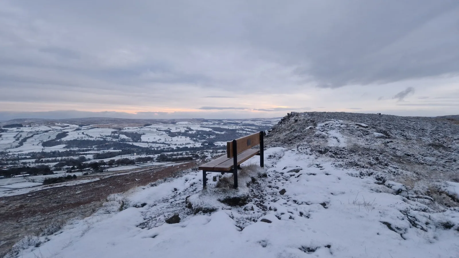
35.1 km, 808 m, Very Hard (E4·T3), and 4 hours 30 to 6 hours. The Skyline runs the entire crest of Rombalds Moor from Burley Woodhead west to Addingham High Moor — passing the Great Skirtful of Stones, the Grubstones, the Twelve Apostles and the 402 m trig inside the first six kilometres, then the Thimble Stones, Cowper's Cross and the Whetstone Gate masts — before falling off the western end at 12 km, losing close to 300 m to the Wharfe at 14 km, and climbing the far side over Beamsley Beacon at 18.3 km, Round Hill at 20.9 km and Lippersley Pike at 23.4 km. It reaches Burley in Wharfedale at 33 km and climbs the last two kilometres back.
The number that matters is not 35.1 but two: the number of valley crossings. You climb everything twice and the second 300 m starts at 14 km with a moor traverse already in your legs. There is no water anywhere on the high ground and nothing on the route between the start and the Wharfe, so carry food and a proper water carry. Deep-lug shoes, full windproof and waterproof cover, and map and compass for the Denton Moor ground between Round Hill and Lippersley Pike. Spring to autumn only. Parking is the other wrinkle: the traditional start at the Hermit Inn on Moor Road has no runner parking, the race organiser sends people to Scalebor car park in Burley in Wharfedale (LS29 7SQ), which adds a couple of kilometres each way, and the GPX itself starts on the moor road at SE153448 where roadside space is limited and fills on fine weekends. Burley in Wharfedale station is on the Wharfedale line and the route passes through the village at 33 km, so you can finish on the platform.
The Skyline began as a local challenge set by Mike Ayers in 2013, self-timed with prizes handed out at the Hermit each Christmas. Great Owl Running now run it as an August event, 35 km with 910 m of climb plus a 21 km point-to-point from Addingham, with aid stations at Addingham and Timble. The official race line differs slightly from this GPX, so use the organiser's file if you are racing it.
Full details, map and free GPX: The Ilkley Skyline
Practical notes
Parking. Riverside Gardens on Bridge Lane is free, open 24 hours, and has a cafe, a playground and toilets at 40p (card accepted), but it is small; Denton Road and South Hawksworth Street are the paid council fallbacks. The Cow and Calf car park on Hangingstone Road is free with toilets and a cafe on site and allows overnight motorhome parking, and it is one of the busiest spots in Wharfedale on a fine weekend, so arrive early or start in Ilkley and add the climb. Bolton Abbey charges £15, or £12.50 pre-booked. Addingham is on-street only.
Transport. Seven of these ten routes start in Ilkley or pass within 2 km of the town centre, which makes the car genuinely optional here. The Cow and Calf starts are about 2 km from the platform, almost all of it uphill on Cowpasture Road, and buses run up towards the Cow and Calf if you would rather not climb it twice. The Skyline can be finished at Burley in Wharfedale station. Bolton Abbey is the exception, with only the seasonal Dales Bus 74 from Skipton.
Terrain and mud. Eight of the ten are moorland routes with mud ratings of 3 or 4, and the peat on Rombalds Moor holds water for most of the year. Four routes are recorded as 97% or better runnable, which is worth knowing before you assume a moor route means slow going. Six of the ten exclude winter from their best seasons; the exceptions that hold up when everything else is a bog are Bolton Abbey, Middleton Woods, the Twelve Apostles loop and the Burley Moor circuit.
Weather and safety. Rombalds Moor sits in cloud more often than its 402 m suggests, and the plateau reads as flat in every direction. Both the Burley Moor crossing and the Round Hill to Lippersley Pike ridge need a map and compass rather than a phone. Access land on Denton, Askwith and Blubberhouses can close for up to 28 days a year for driven grouse shooting, particularly from 12 August, so check Natural England restrictions before travelling. Ilkley Moor itself has not hosted shooting since April 2018, but the neighbouring moors still shoot between 12 August and December. No fires of any kind on Rombalds Moor. Ground-nesting birds are present from March to July. More on all of this on the TRP safety page.
In an emergency call 999 or 112, ask for Police, then Mountain Rescue. If you have no signal you can text 999, but you have to pre-register first — text "register" to 999.
Kit, in one paragraph. Ilkley is a deep-lug town. Eight of these ten routes are moorland with mud ratings of 3 or 4, and on those a road-leaning trail shoe will let you down. Take a windproof and waterproof layer for anything on the plateau or the northern watershed, because there is no shelter once you are up, and carry your own water on the five routes that have none. Bolton Abbey and Middleton Woods are the two where a light trail shoe is plenty. Category guidance for all of it is in the TRP kit guides.
Free GPX, condition reports and photos
Every route above has a free GPX download on its route page. No account, no email gate, no newsletter signup in the way. Open the route, download the file, load it on your watch.
If you run one of them, a condition report is the most useful thing you can leave behind — how wet the peat was, whether the Burley Moor paths were followable, what the Strid path was like after rain. Photos are welcome too, and several of these routes have none yet. Routes we have missed around Ilkley can be submitted through the site; the moor is big and there is more of it than ten routes.
More in the area: the South Pennines routes hub covers Rombalds Moor and its neighbours, and the Yorkshire Dales hub picks up Wharfedale north of the Wharfe.
FAQ
Where can I run trails near Ilkley?
This guide covers ten routes that start in Ilkley or within five miles of the town centre, ranging from 7.7 km to 35.1 km. Rombalds Moor rises directly from the south side of town and carries six of them, including the Twelve Apostles loop and the Ilkley Skyline. North of the Wharfe, Beamsley Beacon and the Denton Moor watershed carry two more, and Middleton Woods and the Bolton Abbey estate give the low-level options.
What is the easiest trail run near Ilkley?
Middleton Woods and Nesfield from Ilkley, at 7.8 km with 113 m of climb, graded Moderate (E1·T2). It starts at Riverside Gardens, takes its only real gradient inside the first 1.3 km, and never gets far above the river. The Bolton Abbey Loop is flatter still at 98 m of climb over 10.9 km, but it is a drive or a seasonal bus out of town.
What is the toughest trail run from Ilkley?
The Ilkley Skyline, 35.1 km with 808 m of climb, graded Very Hard (E4·T3) and 4 hours 30 to 6 hours. It crosses the Wharfe valley twice, so you climb everything twice, and the second 300 m ascent starts at 14 km. There is no water on the high ground at any point.
Can I run near Ilkley without a car?
Yes, for most of these routes. Ilkley station is the terminus of the Wharfedale line with roughly 35 trains a day each to Leeds and Bradford Forster Square, and Northern run hourly direct from Leeds in 27 to 29 minutes. Middleton Woods and the Beamsley Beacon and Lippersley Pike loop both start about 500 m from the platform, and the Ilkley to Rombalds Moor Loop starts in the town too; the Cow and Calf loops are a 2 km uphill approach on Cowpasture Road, or a bus up. Bolton Abbey is the hardest to reach, served only by Dales Bus 74 from Skipton on summer Sundays and bank holidays.
Which routes near Ilkley are worth running in winter?
Four of the ten list winter among their best seasons: the Bolton Abbey Loop, Middleton Woods and Nesfield, the Twelve Apostles loop and the Burley Moor Stone Circles circuit. Bolton Abbey is the most reliable of them, at mud rating 2 on estate tracks with 99% of it runnable. The other six, including the Skyline and both Beamsley routes, are recorded as spring to autumn routes.
Do I need a map and compass on Ilkley Moor?
On most of these, yes. Seven of the ten are marked as needing map skills, and two sections in particular earn it: the Burley Moor crossing between the Grubstones and Coldstone Beck, which is blanket bog with faint paths and nothing to navigate by in poor visibility, and the three kilometres of heather between Round Hill and Lippersley Pike. The 402 m plateau reads as flat in every direction and sits in cloud often, so phone navigation alone is not enough.
Is grouse shooting a problem on these routes?
It depends which side of the valley you are on. Ilkley Moor stopped hosting grouse shooting in April 2018, but the neighbouring moors still shoot between 12 August and December, so check access restrictions if you extend east off the Burley Moor circuit. North of the Wharfe, Denton, Askwith and Blubberhouses are working driven grouse moors where access land can be closed for up to 28 days a year — check the Natural England restrictions before travelling, particularly from 12 August, if you are running Beamsley Beacon and Lippersley Pike or the Skyline.
Are the GPX files free?
Yes. Every route on Trail Running Planet has a free GPX download on its route page, with no account and no email signup required.
Every route in this guide, and the rest within 15 km, is on the Routes near Ilkley page: 46 routes, each with a free GPX file and a TRP grade.