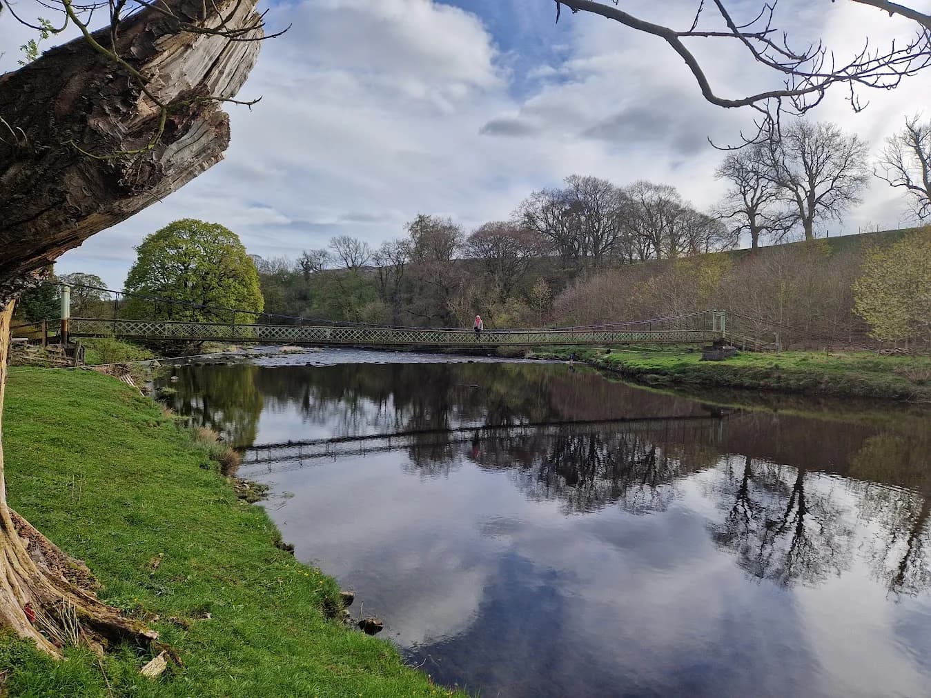
Best Trail Runs From Grassington: 10 Routes in Wharfedale
Ten trail running routes from Grassington in the Yorkshire Dales, from a 6.8km reservoir circuit to a 97.9km ultra. Free GPX on every one.
Grassington gives you ten curated trail running routes inside five miles, from a 6.8km reservoir circuit to a 97.9km self-navigated ultra. Ascent runs from 76m to 2,660m. Four of them start in the village itself, four are a short drive or bus down the dale, and two need a car to reach Barden Tower. Every one has a free GPX download — no account, no email, no gate.
Why Grassington works as a base
Grassington is the hub of Upper Wharfedale, with routes onto Grassington Moor, the lead-mining landscape and the quiet lanes and bridleways connecting it south to Burnsall. For a runner that means you can park once and get onto three completely different kinds of ground: riverside meadow, limestone country, and open grouse moor.
There is no railway station in Grassington. Skipton is the nearest, and the 72 and Dalesbus services connect it to the village. That matters more than it sounds — it means the village routes are genuinely reachable without a car, and the Barden Moor pair are not. We say so route by route rather than pretending otherwise.
The National Park pay and display car park on Hebden Road, BD23 5LB, is the natural base for everything that starts in the village. It has toilets on site and the cobbled square is a couple of minutes away, with cafes, pubs and shops for afterwards. It fills on fine weekends, so arrive early.
The routes at a glance
| Route | Distance | Ascent | Grade | Terrain | Type | Best for |
|---|---|---|---|---|---|---|
| Grimwith Reservoir | 6.8 km | 76 m | Easy (E1·T1) | Path | Loop | Even pace, no terrain fight |
| Grass Wood from Grassington | 8.1 km | 181 m | Moderate (E2·T2) | Woodland and path | Loop | A short one from the village square |
| Barden Moor Short Loop | 9.4 km | 224 m | Moderate (E2·T2) | Moorland | Loop | A first taste of open moor |
| Burnsall and Appletreewick | 13.6 km | 275 m | Moderate (E2·T2) | Path and fell | Loop | Easy ground and two pubs |
| Grassington Moor and Hebden Circular | 16.5 km | 354 m | Hard (E3·T2) | Moorland and path | Loop | Lead-mining history from the door |
| Barden Moor Long Loop | 18.9 km | 400 m | Hard (E3·T3) | Moorland and fell | Loop | Open access land, wide views |
| Burnsall Half from the Wharfe | 23.0 km | 484 m | Very Hard (E4·T2) | Path and fell | Loop | A first half-marathon off-road |
| Kilnsey and Mastiles Lane | 24.0 km | 541 m | Very Hard (E4·T3) | Moorland and path | Loop | Roman road across Malham Moor |
| Yorkshire Trod 50k | 52.5 km | 1,189 m | Expert (E5·T3) | Moorland and path | Loop | A first self-navigated ultra |
| Ultra Tour Yorkshire Dales 100k | 97.9 km | 2,660 m | Expert (E5·T4) | Moorland and fell | Loop | The biggest day the dale offers |
Grades are TRP Grades: effort computed from the GPX, terrain set editorially, and the label is whichever of the two is higher. How the grading works.
Straight out of the village
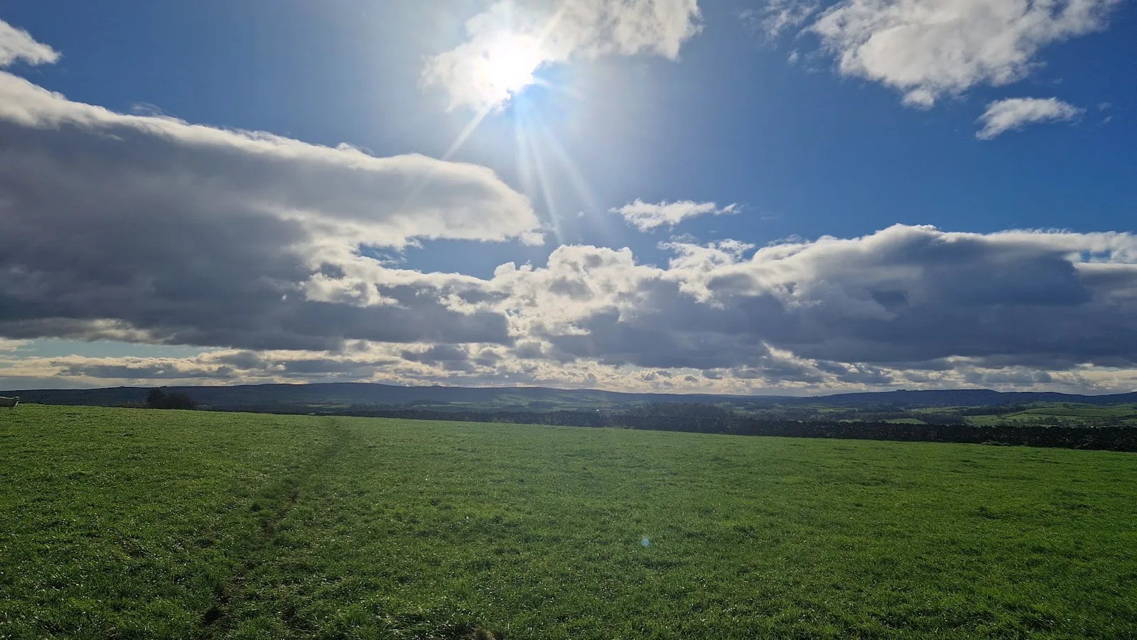
Grass Wood from Grassington
8.1km with 181m of ascent, graded Moderate (E2·T2), and the shortest route that starts in the village itself. It heads up the valley on the Dales Way towards Grass Wood and returns along the River Wharfe. Grass Wood is one of the largest areas of broadleaf woodland in the Yorkshire Dales — ancient ash, limestone outcrop and spring flowers, with wood warbler, pied flycatcher and redstart in April and May.
It is low and gentle by Dales standards, but the ground is more varied than the distance suggests: grassy riverside meadow one moment, rocky woodland path the next. Reckon on 60 to 80 minutes. The honest drawback is the surface — those woodland paths are rocky and steep in places and go slick when wet or icy, and the riverside meadows hold water after rain. The Wharfe should not be underestimated when it is high.
A trail shoe with some bite is worth having for the wet rock rather than a road-leaning shoe. There are toilets and water at the start, and it is listed for spring, summer and autumn rather than winter. This is one of only two routes here rated family-friendly.
Grass Wood from Grassington: route & free GPX →
Grassington Moor and Hebden Circular
16.5km with 354m of ascent, graded Hard (E3·T2), 125 to 165 minutes. From the village the route climbs onto the moor via Sedber Lane, past the remains of Duke's New Level and the Grassington Moor lead mining complex, then descends through Hebden village and returns along the riverside path.
Grassington Moor holds some of the best-preserved lead mining remains in the Dales — flues, smelt mills and bell pits from the 18th and 19th centuries. It is an industrial landscape and a beautiful one at the same time.
The hazard here is specific and worth taking seriously: there are open mine shafts on the moor. Do not enter any mine workings, and keep dogs away from shaft openings. Navigation is straightforward and the mud rating is a low 2, but there is no water on the route, so carry what you need for the full 16.5km.
Grassington Moor and Hebden Circular: route & free GPX →
Yorkshire Trod 50k
52.5km with 1,189m of ascent, graded Expert (E5·T3), and a 6 to 9 hour day. It traces the 50km route of the Ultra Tour Yorkshire Dales, starting and finishing in Grassington. Out via Threshfield to Weets Top above Malham, along the shore of Malham Tarn, across the moor into Littondale at Arncliffe, then through Litton, Buckden and Starbotton before the Dales Way back down Wharfedale through Kettlewell.
What makes it distinctive is the variety in one loop: limestone country around Malham Tarn, the quieter valley of Littondale, and the classic upper Wharfedale villages. Few single routes cross this much genuinely different Dales terrain in one continuous line.
It is deliberately unmarked. The moorland crossings between the dales have no waymarking and limited landmarks in poor visibility, and the distance means fatigue-related navigation errors get more likely late on. Carry a map and compass and the skills to use them — phone navigation alone is not enough here. There is no water on the route, so plan resupply around the villages, none of which are guaranteed to be open outside race weekends. Deep-lug shoes, a windproof and waterproof layer, and a proper water carry rather than a handheld.
The event itself runs each October from Grassington as the UTYD 50k, self-navigated with no waymarking.
Yorkshire Trod 50k: route & free GPX →
Ultra Tour Yorkshire Dales 100k
97.9km with 2,660m of ascent, graded Expert (E5·T4). Estimated at 765 to 1,035 minutes — a 13 to 17 hour day. From Threshfield the line climbs to Weets Top and Malham Tarn, crosses the moor to Arncliffe, heads up Wharfedale through Litton, Buckden, Starbotton and Kettlewell taking in Buckden Pike, then sweeps back through Burnsall, Trollers Gill, Simon's Seat and Barden Moor to Cracoe before dropping to Grassington.
This is a route for experienced ultra runners and no one else. It is self-navigated with no waymarking over exposed high fells, so expert navigation, full kit and a fuelling plan are essential. Expect boggy moor — the mud rating is 4 out of 5 — steep climbs, severe summit weather, and long gaps between escape points. Grouse shooting affects the moors from August to December, and it is listed for summer and autumn only.
Named summits on the route: Buckden Pike at 702m, Cracoe Fell at 508m, Simon's Seat at 484m and Rylstone Cross at 410m.
Ultra Tour Yorkshire Dales 100k: route & free GPX →
A short hop down the dale
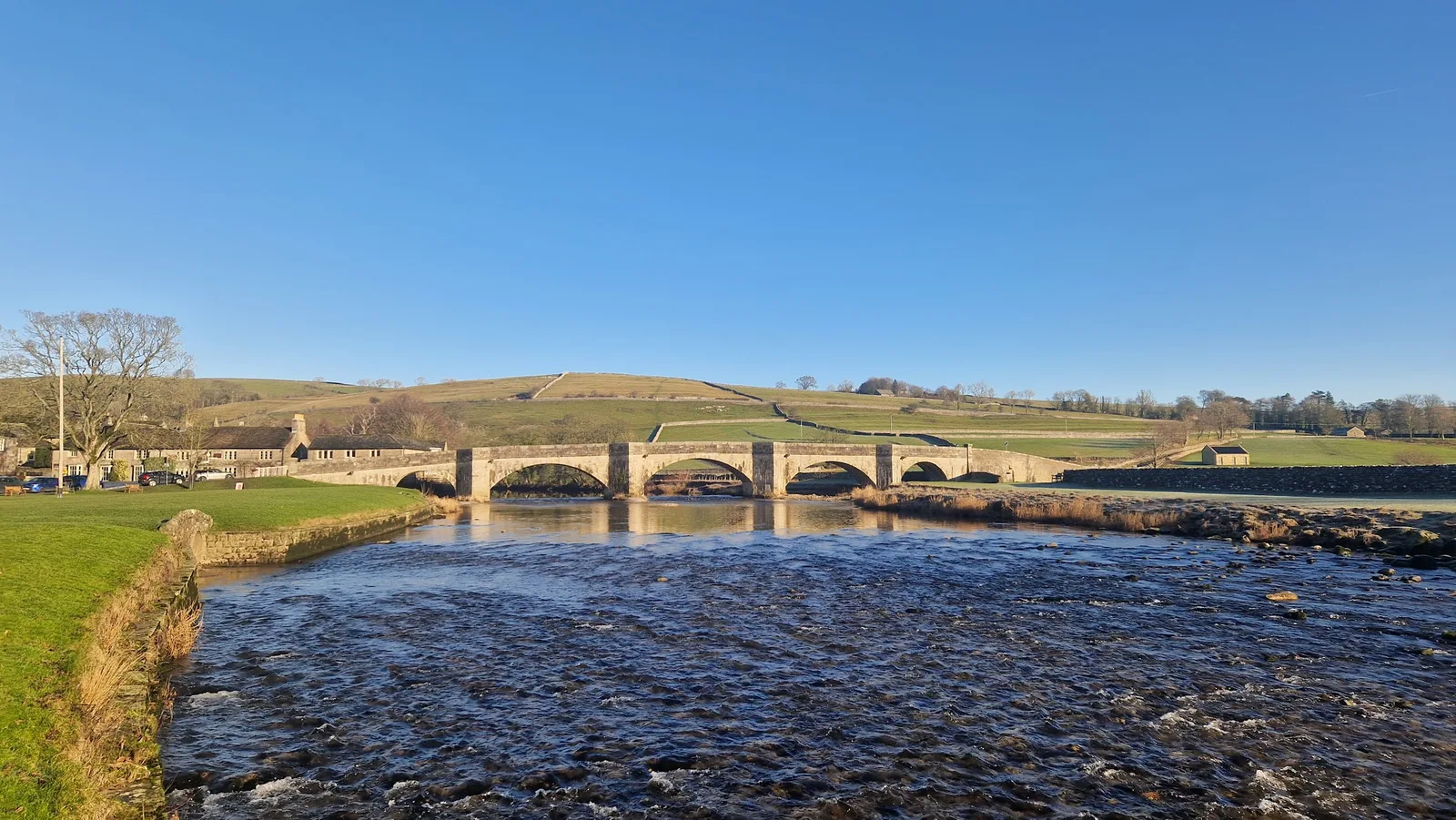
Grimwith Reservoir
6.8km with 76m of ascent, graded Easy (E1·T1), 45 to 65 minutes, starting 3.8 miles from Grassington. It loops Grimwith Reservoir at around 300m, and it is the gentlest route on this list by a distance — the only one graded Easy.
Most Dales running is an argument with the terrain. This is not. The circuit is 100% runnable, there is only 31m between its lowest and highest point, the mud rating is a low 2, and the navigation is straightforward. Because it is a closed circuit you are never committed: you can turn back at any point and the distance home stays bounded.
That makes it the route for the jobs the fells are bad at — a steady-paced effort where you want to hold a number, an easy day between hard ones, a first run off road, or an evening when the light is going and you would rather not be route-finding on open moor. A light trail shoe is plenty here. There is a car park at the start with toilets on site.
Grimwith Reservoir: route & free GPX →
Burnsall and Appletreewick
13.6km with 275m of ascent, graded Moderate (E2·T2), 100 to 135 minutes, starting 2.5 miles from Grassington. From the National Park car park in Burnsall it crosses the old packhorse bridge, follows the Wharfe downstream, climbs above the river to Appletreewick, and returns along the opposite bank with views across to Simon's Seat.
This is the sociable end of trail running — wide paths, the river never far away, and enough undulation to feel like a run. The mud rating is 2 and the runability is 100%, so a light trail shoe is plenty and road shoes cope in dry weather. Toilets and water at the start, the New Inn at Appletreewick mid-route and the Red Lion at Burnsall at the end.
The catch is water of a different kind: the river sections flood after heavy rain and the Wharfe path below Burnsall is occasionally impassable. There are stiles and gates throughout. The 74a bus runs from Grassington to Burnsall. Family-friendly, and dogs are fine on the lead through the fields.
Burnsall and Appletreewick: route & free GPX →
Burnsall Half from the Wharfe
23.0km with 484m of ascent, graded Very Hard (E4·T2), 170 to 230 minutes, starting 2.6 miles out. It follows the Wharfe and the surrounding field paths and lanes out of Burnsall, linking riverside with the fells and lanes above the dale. Most of it is runnable, but the repeated rises add up.
The climbing is spread out and never steep and the navigation is straightforward, which is what makes this a sensible first half-marathon distance off-road. At 23km you want food and a proper water carry rather than a handheld, even though there is water at the start.
Two honest warnings. The riverside meadows flood in winter and churn to mud after rain, so the low path can be impassable in spate. The stepping-stone crossings are slick and best avoided when the Wharfe is high. Parking is genuinely tight now the old village park car park has closed — the River Wharfe car park charges around £5 for the day with gates closing at 8pm, and the Riverbank Cafe has around 50 spaces.
The Burnsall Classic Fell Race, one of the oldest fell races in the country, runs from the village sports each August.
Burnsall Half from the Wharfe: route & free GPX →
Kilnsey and Mastiles Lane
24.0km with 541m of ascent, graded Very Hard (E4·T3), 180 to 245 minutes, starting 3.0 miles up the dale. From Kilnsey it climbs onto Malham Moor via Mastiles Lane and returns down the dale. The running is a mix of quiet lane, walled green track and open moor.
Kilnsey Crag is the landmark of upper Wharfedale, a huge overhanging limestone cliff that leans out over the road. Beyond it, Mastiles Lane is one of the great green roads of the Dales, a walled Roman route running dead straight across Malham Moor, once used to drove sheep to the monastic granges. Up top the ground opens to limestone pavement and old field systems.
Malham Moor is open and exposed with branching tracks that need a map in poor visibility — this is a map-and-compass route, not a phone-navigation one. The green lanes hold water after rain and limestone underfoot is slick when wet. Terrain score 3 means deep-lug shoes with real grip, and at 24km on exposed ground you want a windproof and waterproof layer and food. Keep clear of the base of Kilnsey Crag when climbers are on it.
Kilnsey and Mastiles Lane: route & free GPX →
Onto Barden Moor
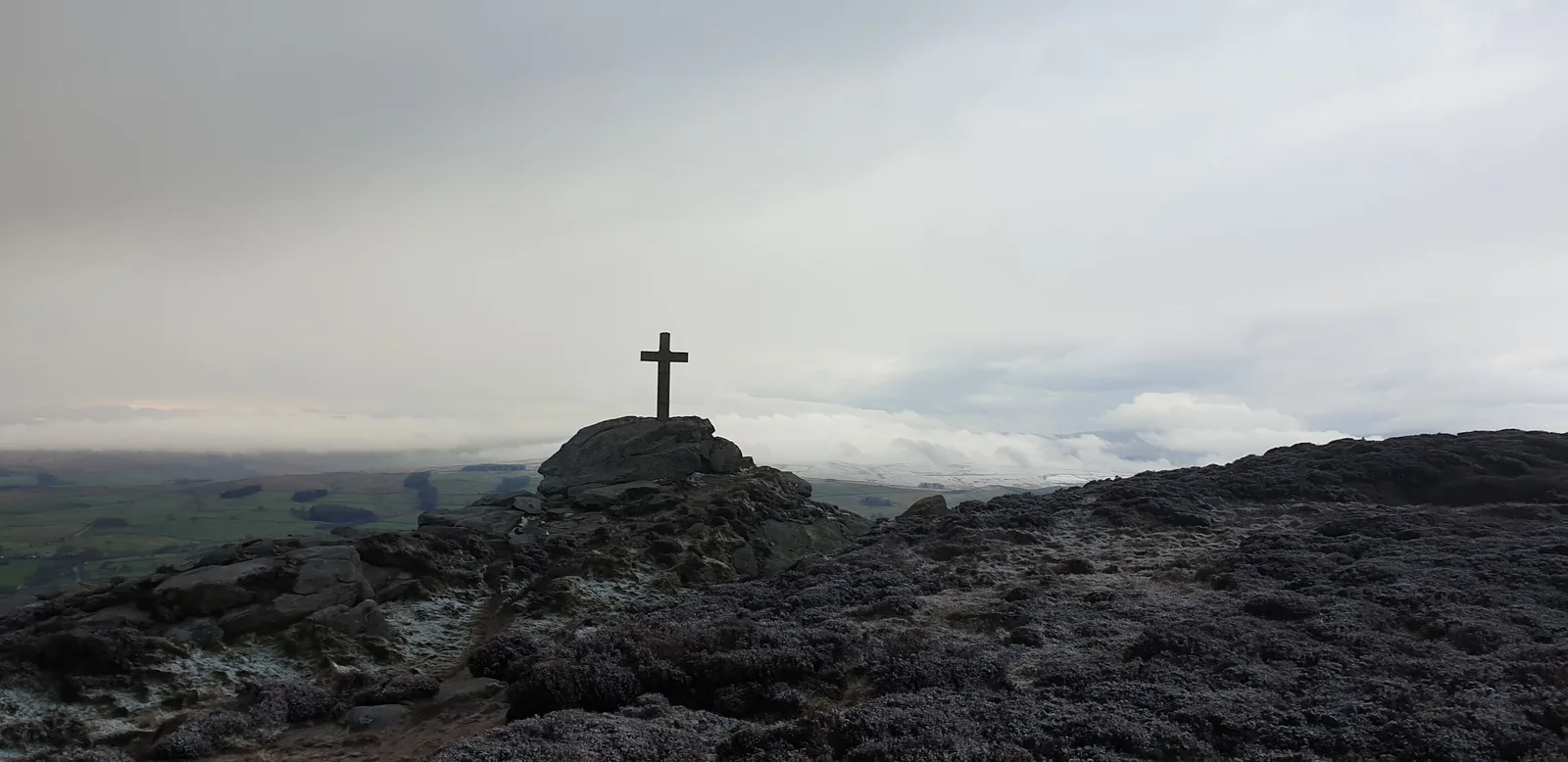
Both Barden Moor routes start at Barden Tower, BD23 6AS, around 5.6 miles from Grassington. There is no direct bus service and the nearest station is Skipton, roughly 10km away, so a car is the practical option for these two. There are no toilets and no water at the start, and the nearest cafe is the Cavendish Pavilion at Bolton Abbey, a few minutes' drive away.
One rule applies to both, year-round: dogs are not permitted on Barden Moor or Barden Fell at any time of year. This is a Bolton Abbey Estate rule and it does not lapse out of season. Both are managed grouse moor, with shooting from 12 August to 10 December and no shooting on Sundays.
Barden Moor Short Loop
9.4km with 224m of ascent, graded Moderate (E2·T2), 70 to 100 minutes. It climbs to around 431m on open access land, heather and rough grass with wide Wharfedale views. The climbing is gentle and spread thinly across the route rather than arriving in one block.
The main tracks are well used and straightforward to follow, and because the loop stays closer to the lower edge of the moor it is a reasonable introduction to open access terrain. The ground turns soft and slippery after rain, particularly on the descent, and the moor has no shelter from wind or rain — carry a layer even on a short one. No water on the route.
Barden Moor Short Loop: route & free GPX →
Barden Moor Long Loop
18.9km with 400m of ascent, graded Hard (E3·T3), 140 to 190 minutes. Barden Moor tops out around 502m on this route, with Cracoe Fell at 508m and Rylstone Cross at 410m on the line. The climbing is gradual and spread across the whole route, so the effort builds steadily.
Access land means you are not locked to a single line, but that cuts both ways: the main tracks are easy to leave in poor visibility, so carry a map even though the paths are generally clear. This one is graded for map skills rather than straightforward navigation. Terrain score 3 puts it in deep-lug territory, and with no shelter on the moor and no water on the route you want a windproof and waterproof layer and to carry your own.
Barden Moor Long Loop: route & free GPX →
Practical notes
Parking. Grassington's National Park car park on Hebden Road, BD23 5LB, covers the four village routes and has toilets. Burnsall has a National Park car park by the Wharfe with toilets for the Appletreewick loop, and a paid River Wharfe car park for the Burnsall Half. Grimwith Reservoir has a car park at the start with toilets on site. Barden Tower is roadside and estate parking. Kilnsey is roadside at Conistone Bridge or the laybys towards Kilnsey, with Grassington the larger easier option a little further down the dale.
Transport. The 72 and Dalesbus services reach Grassington from Skipton and Ilkley, and Skipton is the nearest rail station. The 74a bus runs from Grassington to Burnsall. Barden Tower is not served — that pair needs a car.
Terrain and mud. Nothing here is above a mud rating of 4, and that is only the 100k. The village and riverside routes sit at 2 or 3 and drain reasonably. The recurring problem in this dale is not bog but water: the Wharfe floods its meadows, and the low riverside paths at Burnsall can be impassable in spate. Check the river before committing to a low route after heavy rain.
Weather and safety. Five of these ten cross open moor with no shelter. Four are graded for map skills rather than straightforward navigation — both Barden Moor routes at the longer end, Kilnsey and Mastiles Lane, and both ultras. A map and compass and the ability to use them is not optional on those.
In an emergency call 999 or 112, ask for Police, then Mountain Rescue. If you have no signal you can text 999, but you have to pre-register first — text "register" to 999.
Kit for the dale as a whole. If you keep one pair of shoes for Grassington, make it a proper trail shoe with real lugs — the moor routes and the wet limestone both punish a road-leaning shoe, and only the Burnsall and Appletreewick loop is forgiving enough for anything lighter. Carry a windproof and waterproof layer for anything on the moor whatever the forecast says, and carry your own water for Grassington Moor, both Barden Moor routes and the Yorkshire Trod, none of which have any. Full detail in our kit guides, and the safety pages cover navigation and emergency procedure properly.
More routes across the region are on the Yorkshire Dales hub.
Free GPX, condition reports and photos
Every route on this page has a free GPX download. No account, no email address, no gate — click the download and it is yours. That is not a launch offer, it is how the site works and how it will stay.
If you run one of these, the condition reports are the useful bit. Tell us the state of the riverside paths after a wet week, whether the moor is holding water, whether a stile has gone. Photos of the actual route are just as welcome, and several of these routes could use more. If you know a Wharfedale route we have missed, submit it.
FAQ
Where can I run trails near Grassington?
There are ten curated routes within five miles of Grassington, ranging from a 6.8km circuit of Grimwith Reservoir to a 97.9km ultra. Four start in the village itself: Grass Wood, the Grassington Moor and Hebden Circular, the Yorkshire Trod 50k and the Ultra Tour Yorkshire Dales 100k. The rest are a short hop down the dale to Grimwith, Burnsall and Kilnsey, or a drive to Barden Tower.
What is the easiest trail run from Grassington?
Grimwith Reservoir, at 6.8km with 76m of ascent, graded Easy (E1·T1) — the only Easy route within five miles of Grassington. It is 100% runnable with just 31m between its lowest and highest point, and takes 45 to 65 minutes. If you want something starting in the village itself, Grass Wood is 8.1km with 181m of ascent, graded Moderate (E2·T2), and takes 60 to 80 minutes.
What is the toughest run near Grassington?
The Ultra Tour Yorkshire Dales 100k — 97.9km with 2,660m of ascent, graded Expert (E5·T4). It is self-navigated with no waymarking over exposed high fells and takes 13 to 17 hours. The Yorkshire Trod 50k at 52.5km and 1,189m is the same event's shorter route and a more realistic first target.
Can I run near Grassington without a car?
Yes, for most of them. The 72 and Dalesbus services reach Grassington from Skipton and Ilkley, and four routes start in the village itself. The 74a runs from Grassington to Burnsall. The two Barden Moor routes are the exception: there is no direct bus service to Barden Tower and the nearest station is Skipton, around 10km away.
Which routes near Grassington are worth doing in winter?
None of the ten are listed for winter in our seasons data, so treat all of them as spring-to-autumn routes and judge conditions on the day. The riverside routes are the ones to avoid after heavy rain — the Wharfe meadows flood and the low path below Burnsall can be impassable in spate. The Grassington Moor and Hebden Circular has the joint-lowest mud rating on the moor side at 2 out of 5.
Do I need a map and compass?
For four of the ten, yes. The Barden Moor Long Loop, Kilnsey and Mastiles Lane, the Yorkshire Trod 50k and the Ultra Tour Yorkshire Dales 100k are all graded for map skills rather than straightforward navigation. Malham Moor has branching tracks that need a map in poor visibility, and both ultras are unmarked across open moorland where the path is not always obvious.
Can I bring my dog?
On some. Grass Wood, Burnsall and Appletreewick, the Burnsall Half and Kilnsey and Mastiles Lane all allow dogs on the lead near livestock. Dogs are not permitted on Barden Moor or Barden Fell at any time of year, which rules out both Barden Moor routes. The Grassington Moor and Hebden Circular is not recommended because of the open mine shafts on the moor.
Is grouse shooting something I need to worry about?
On Barden Moor, yes. Shooting runs from 12 August to 10 December with no shooting on Sundays, and the moor is fully open outside that window. That affects both Barden Moor routes and the section of the 100k that crosses to Cracoe. Check before setting out during the season.
Are the GPX files free?
Yes. Every route has a free GPX download with no account, no email address and no sign-up of any kind.
Every route in this guide, and the rest within 15 km, is on the Routes near Grassington page: 47 routes, each with a free GPX file and a TRP grade.