Best Lake District Trail Running Routes With Free GPX
The best Lake District trail running routes, from flat lake laps to the Bob Graham legs. Honest grading, free GPX on every route, parking and transport notes.
Best Lake District trail running routes
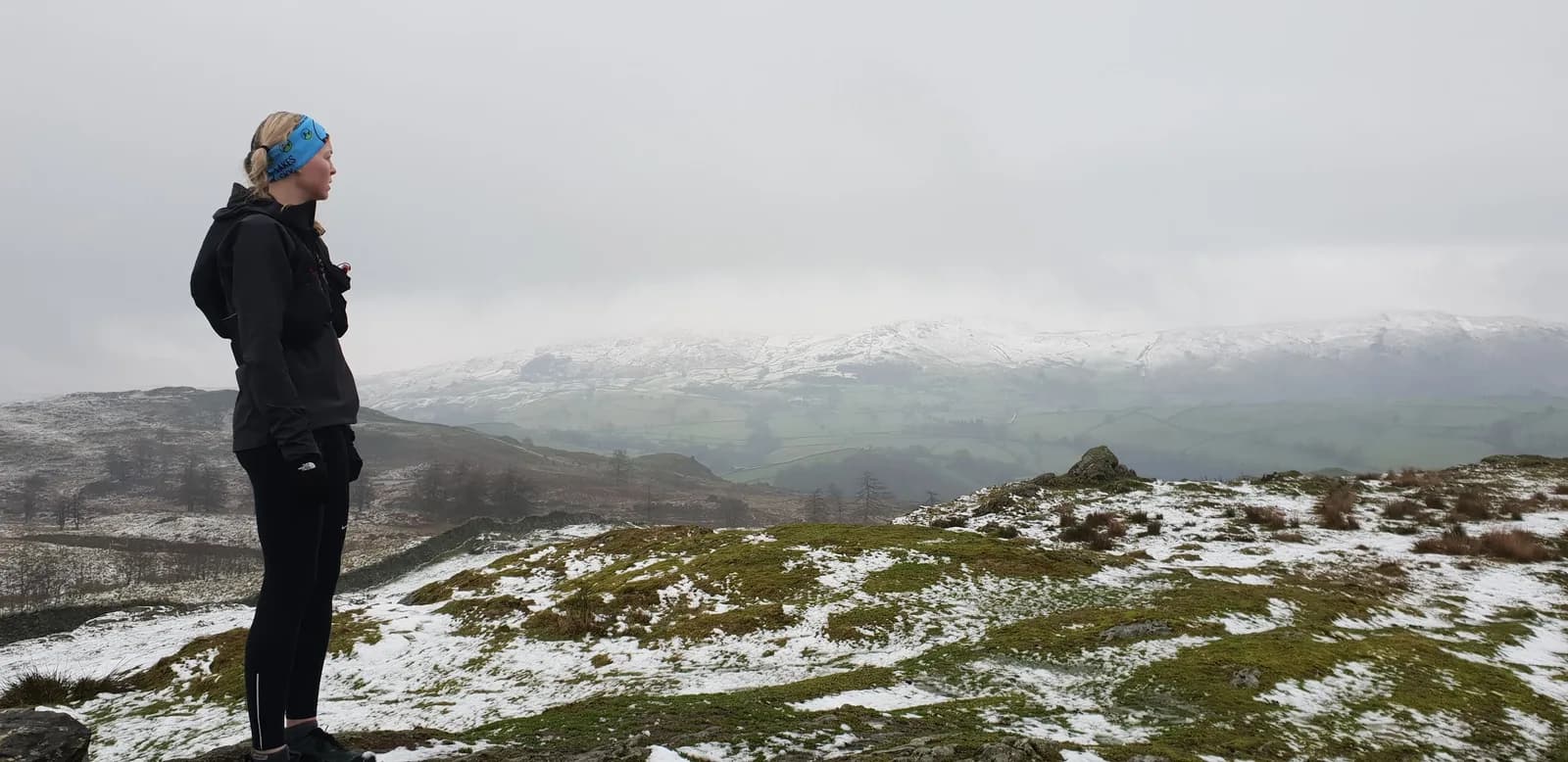
The Lake District is the biggest fell running draw in the UK, and the routes below cover the full range. There's a 6km loop over Catbells that gets you a proper summit and a full Derwentwater view in under an hour, a near-flat 14.6km lap of the lake itself, and — at the other end — the Bob Graham Round legs, where a single leg can pack 1,900m of climbing into 25km of the highest ground in England. Fell is the local word for these high, open hills, and running them is its own discipline. Every route here has a free GPX download, an honest TRP Grade, and the detail you need to choose well.
Why the Lakes
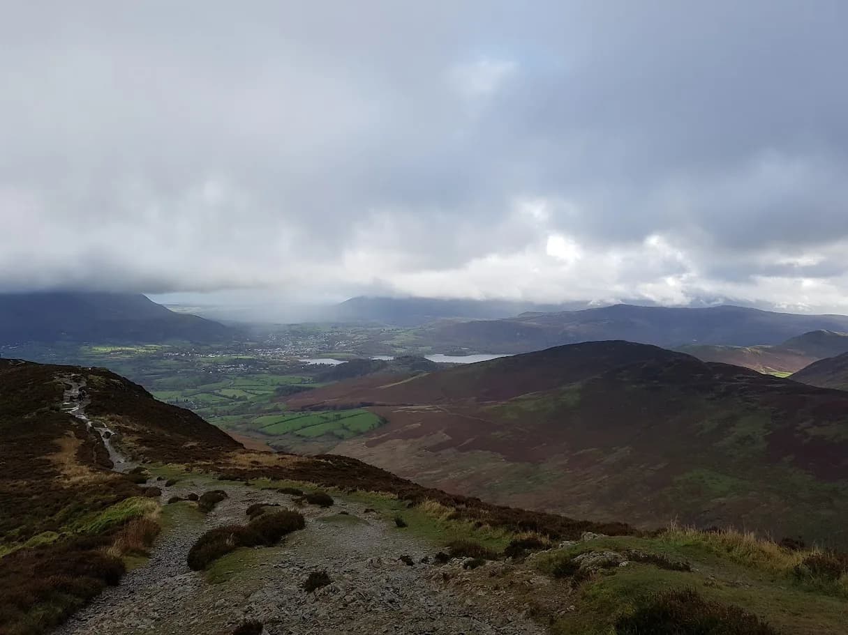
Nowhere else in England gives you this much mountain in one place. The fells are steep, the ridges are long and runnable, and the lakes give you flat, fast options for recovery days or bad weather. Keswick, Ambleside, Grasmere, Buttermere, Glenridding and Staveley all make good bases with parking, cafes and a pub, and Keswick in particular puts several routes within running distance of the town once you're there.
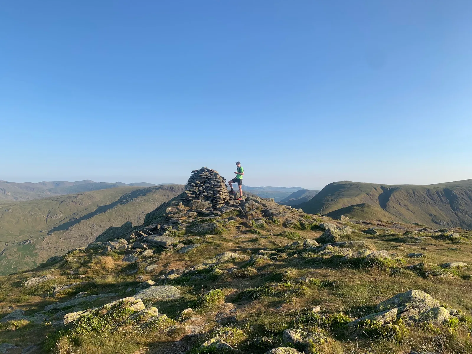
It's also the home of British fell running. Many of the routes here trace lines runners have used for decades — the Coledale and Kentmere horseshoes, the Catbells–Newlands ridge, and the legendary Bob Graham Round, a 24-hour challenge over 42 fells that the legs below break into runnable chunks.
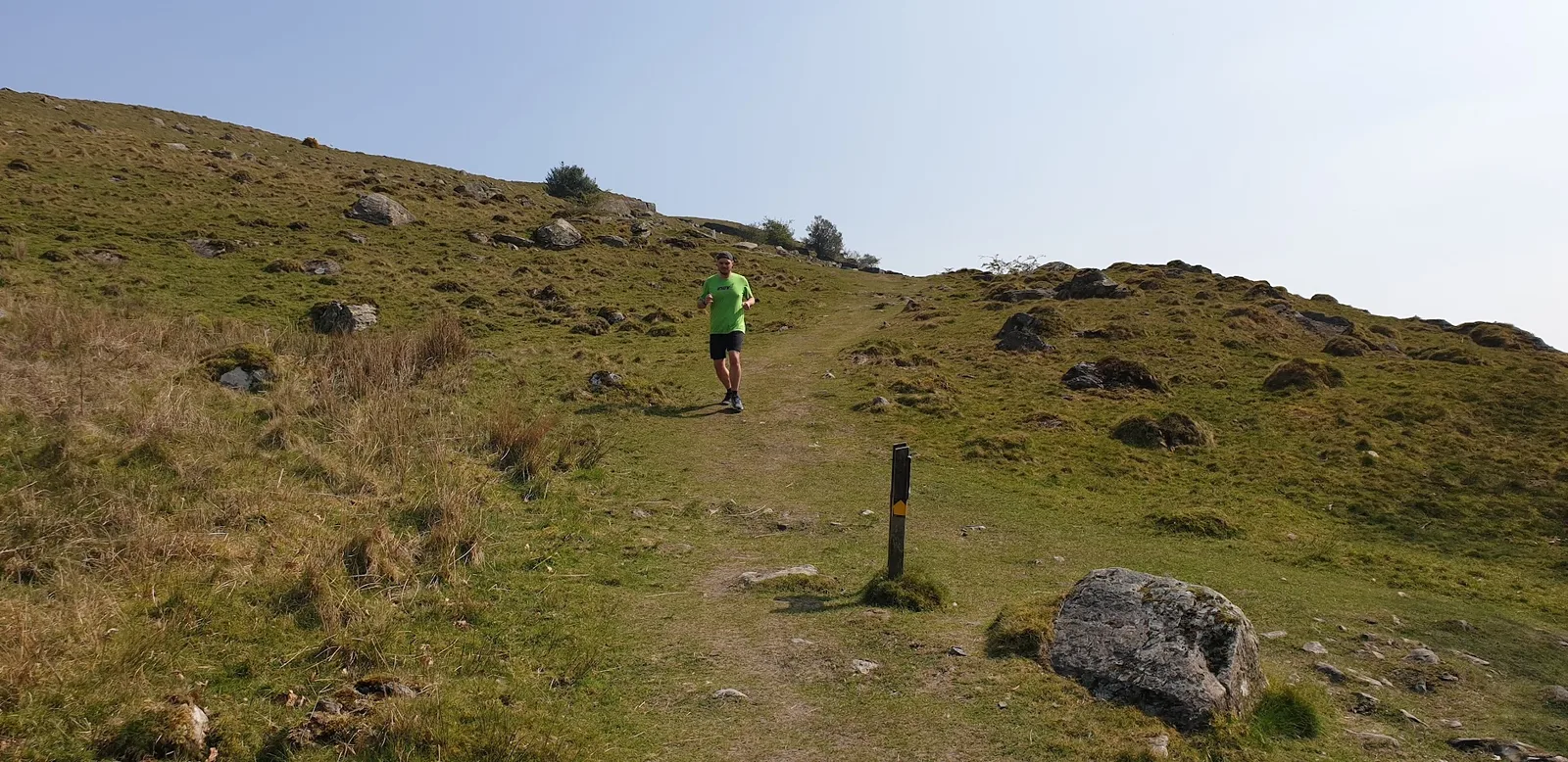
A note on terrain
A fell is an open mountain or high hill. A Wainwright is one of the 214 fells listed in Alfred Wainwright's guidebooks, and bagging them is a popular goal — many routes here are described by how many Wainwrights they tick off. A horseshoe is a loop that follows the ridge around the head of a valley. The ground ranges from good lakeside paths to rocky ridges with real exposure, and the weather changes fast with height. Read the grade and the terrain note on each route before you commit.
Route comparison
| Route | Distance | TRP Grade | Base | GPX |
|---|---|---|---|---|
| Catbells from Hawes End | 6.0km | Moderate | Keswick | GPX |
| Latrigg from Keswick | 8.3km | Moderate | Keswick | GPX |
| Helvellyn from Thirlmere | 10.7km | Very Hard | Thirlmere | GPX |
| Helvellyn via Swirral and Striding Edge | 11.3km | Very Hard | Thirlmere | GPX |
| Reston Scar and Brunt Knott | 12.6km | Hard | Staveley | GPX |
| Coledale Horseshoe | 13.6km | Very Hard | Keswick | GPX |
| Grasmere, Rydal Caves and the Coffin Route | 14.0km | Hard | Grasmere | GPX |
| Derwentwater Round from Keswick | 14.6km | Hard | Keswick | GPX |
| Catbells from Keswick | 16.8km | Hard | Keswick | GPX |
| Buttermere and Crummock Water Circuit | 17.5km | Hard | Buttermere | GPX |
| Kentmere Horseshoe | 18.7km | Very Hard | Staveley | GPX |
| Bob Graham Leg 1: Skiddaw and Blencathra | 20.8km | Expert | Keswick | GPX |
Easy lake and low-fell days
You don't need 1,000m of climb to have a good day in the Lakes. Catbells from Hawes End (6.0km) is the standout starter: a 451m Wainwright with a full Derwentwater panorama, reached in well under an hour. Latrigg from Keswick (8.3km) is even gentler, a friendly grassy top with the whole sweep of the lake below. For flat miles, the Derwentwater Round from Keswick (14.6km) laps the lake on good paths with barely a climb — graded Hard only for the distance, not the difficulty, so it's a fine long run for newer trail runners. The Buttermere and Crummock Water Circuit (17.5km) is similar: two lakes, near level, with a short rock tunnel cut through the crag on the Buttermere shore.
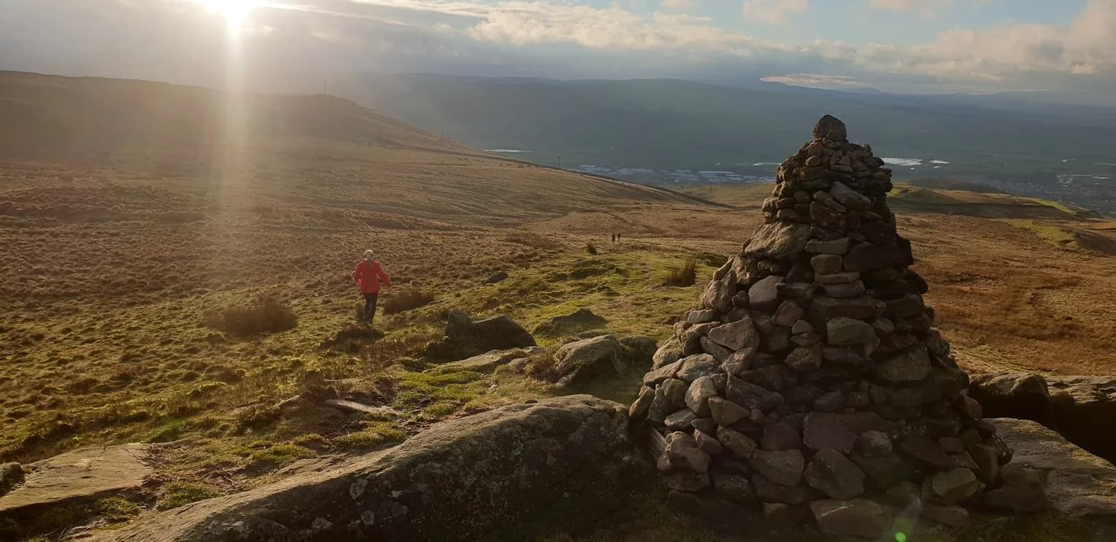
Classic fell days
When you want a proper fell day, the Keswick and Staveley fells deliver. The Coledale Horseshoe (13.6km, around 1,100m of climb) is seven Wainwrights on a long ridge with exposure on both sides — real fell running, where you need to move well on open ground. Helvellyn from Thirlmere (10.7km) is the efficient way up a 950m giant, with runnable grass for the descent. The Kentmere Horseshoe (18.7km) gives you high ridge running with minimal descent until the end. In the quieter south, Reston Scar and Brunt Knott (12.6km) gives you genuine fell on a short day without fighting for parking.
Knife-edges
Helvellyn's two famous ridges, Striding Edge and Swirral Edge, are the most exciting scrambly running in the district. The Helvellyn via Swirral and Striding Edge from Thirlmere route (11.3km) links both from the quieter Thirlmere side. These are graded Very Hard and the edges are genuinely exposed — narrow, rocky and serious in wind or ice. Save them for a clear, calm day. If you're not comfortable with hands-on ground, take Helvellyn from Thirlmere instead.
Bob Graham and big rounds
The Bob Graham Round is the great Lakeland challenge: 42 fells, around 66 miles and 8,000m of climb inside 24 hours. You don't have to do it all at once. We've mapped it as five runnable legs, so you can recce or train one at a time. Leg 1, Skiddaw and Blencathra, is 20.8km with around 1,576m of climb, crossing Skiddaw at 931m before the high traverse to Blencathra. The middle legs are bigger still. Treat any of them as a serious mountain day: navigation, food, kit and a forecast you trust.
Quiet alternatives
If the central fells feel busy, head to Staveley. Staveley and Kentmere Valley (17.7km) is low-key Lake District running at its best — good tracks, no crowds, and the Hawkshead Brewery tap at the end. It's the Lakes without the Wasdale parking scramble.
Practical notes
Terrain and weather. The fells make their own weather and it changes fast with height. It can be calm in Keswick and dangerous on Helvellyn's edges. Always check the mountain forecast for the summit height, not the valley, and turn back if the wind is up on an exposed route.
Parking and transport. Keswick, Ambleside and Grasmere have car parks and bus links; valley starts like Buttermere and Glenridding fill early on weekends. Several Keswick routes can be run from the town without a car. Each route page lists parking and the nearest bus.
Shoes. For lakeside paths and dry ridges, a comfortable trail shoe with decent grip works. For wet fell, steep grass and rock, you want an aggressive fell shoe that grips on the descent.
Safety. Carry a waterproof, food, and offline navigation on any fell route. The edges and high ridges are exposed and serious in bad weather. In an emergency call 999 or 112, ask for Police then Mountain Rescue. No signal? Pre-register emergency SMS by texting register to 999, then text your location in an emergency.
FAQs
What is the best Lake District trail run for beginners?
Catbells from Hawes End (6.0km) gives you a real summit and a full Derwentwater view in under an hour. For flat miles, the Derwentwater Round (14.6km) laps the lake with barely a climb.
Are the Helvellyn edges safe to run?
Striding Edge and Swirral Edge are exposed, rocky ridges — graded Very Hard and serious in wind or ice. Run them only in clear, calm conditions and only if you're comfortable with hands-on ground. Helvellyn from Thirlmere is a safer route to the same summit.
Can I run a Bob Graham Round leg without doing the whole round?
Yes. We've mapped the Bob Graham as five separate legs with free GPX, so you can recce or train one at a time. Each is a serious mountain day in its own right.
Which Lake District routes can I run without a car?
Several start from Keswick — Catbells, Latrigg and the Derwentwater Round among them. Keswick, Ambleside and Grasmere all have bus links; each route page lists the nearest stop.
Do I need to register to download GPX files?
No. Every GPX download on Trail Running Planet is free, with no account, no email gate and no paywall.
Get new Lakes routes as we run them
We're adding Lake District routes most weeks — new fells, Bob Graham recces and condition updates. Browse every Lake District route, or join the newsletter for a short, useful round-up you can act on.