Newton Fell from Lindale
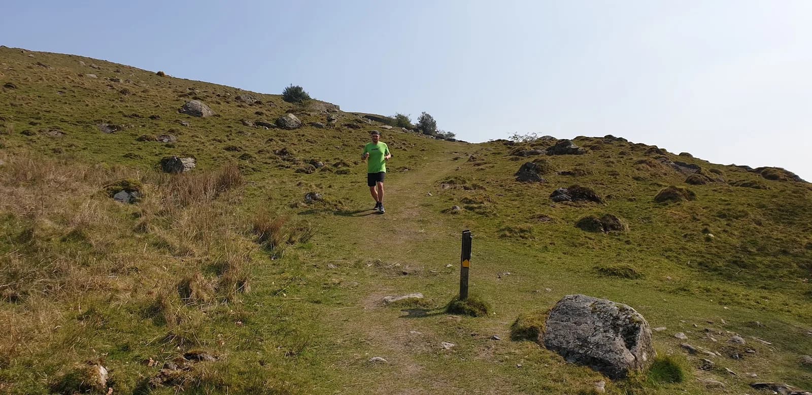
Newton Fell is the Lake District almost nobody runs, a quiet ridge above Morecambe Bay with huge views over the sands, the Kent estuary and the higher fells beyond.
Effort: Moderate distance, manageable climb
Underfoot: Some uneven or off-path ground
E2·T2 — how we grade routesNo photos of this route yet. Sign in to add one
An 11.5km loop from Lindale onto Newton Fell above Morecambe Bay, on the quiet southern edge of the Lake District. Low fell and woodland running with wide views over the sands and the Cartmel peninsula.
Newton Fell is the Lake District almost nobody runs, a quiet ridge above Morecambe Bay with huge views over the sands, the Kent estuary and the higher fells beyond.
The route
Start in Lindale and make an 11.5km loop onto Newton Fell, the low ridge above the village on the southern fringe of the Lake District. The route climbs through woodland onto the open fell, follows the ridge for the views, and drops back through the quiet lanes and woods of the Cartmel peninsula. It is a modest but genuine fell outing, far from the crowds of the central Lakes, with the great expanse of Morecambe Bay as its backdrop.
The fell and the bay
Newton Fell forms part of the low hills at the southern edge of the national park, above Lindale and Newton-in-Cartmel. From the ridge the view opens over the vast sands of Morecambe Bay, the Kent estuary and the Cartmel peninsula, with the higher Lakeland fells rising to the north. This is a landscape of limestone knolls, mixed woodland and quiet farmland, gentler and softer than the high fells but with an outlook that few routes this size can match. Lindale itself has a curious iron monument to the ironmaster John Wilkinson.
Why it works
This is a route for an easy fell day away from the honeypots. The ground is a mix of woodland track, open fell and quiet lane, with modest but real climbing, so it feels like a hill outing without a big commitment. Navigation needs a little care on the open fell in cloud, where paths thin out, so carry a map. It suits a steady run, a loop with company, or a scenic outing when the central Lakes are busy. The fell holds water after rain and the woods can be muddy, so expect some soft going. The Royal Oak in Lindale and the cafes of Grange-over-Sands, just to the south, cover refreshment.

Partner · affiliate policy
The open fell needs a map in cloud where paths thin out, and the fell and woods hold water after rain. Limestone underfoot is slick when wet. Do not venture onto the tidal sands of Morecambe Bay, which are dangerous.
Summits on this route
Safety on this route
- No signal? Text 999 — pre-register first: text register to 999
- Tell someone your route and expected return time before you head out
Leave No Trace
- Leave nothing but footprints, take nothing but memories.
- Please respect the countryside and all its inhabitants.
- Dogs on leads near livestock, and around ground-nesting birds from March to July.
- Gates as you find them — open or closed, leave it that way for the farmer and the next runner.
- Take it all home — wrappers, peel, tissue, the lot. It doesn't count as biodegradable if you can still see it.
- Stick to the path where the ground either side is wet, planted, or nesting habitat.
Common questions
- Most runners complete Newton Fell from Lindale in 1 hour 35 minutes to 2 hours 10 minutes, depending on pace and conditions.
Run by us
Jason Millward has run this route and written it up from the ground. How we check routes
About the author
Runner reports
Nobody's logged a run here yet. If you get out on it, a few lines about how it went helps the next person plan their day.



Routes nearby
 HARD
HARD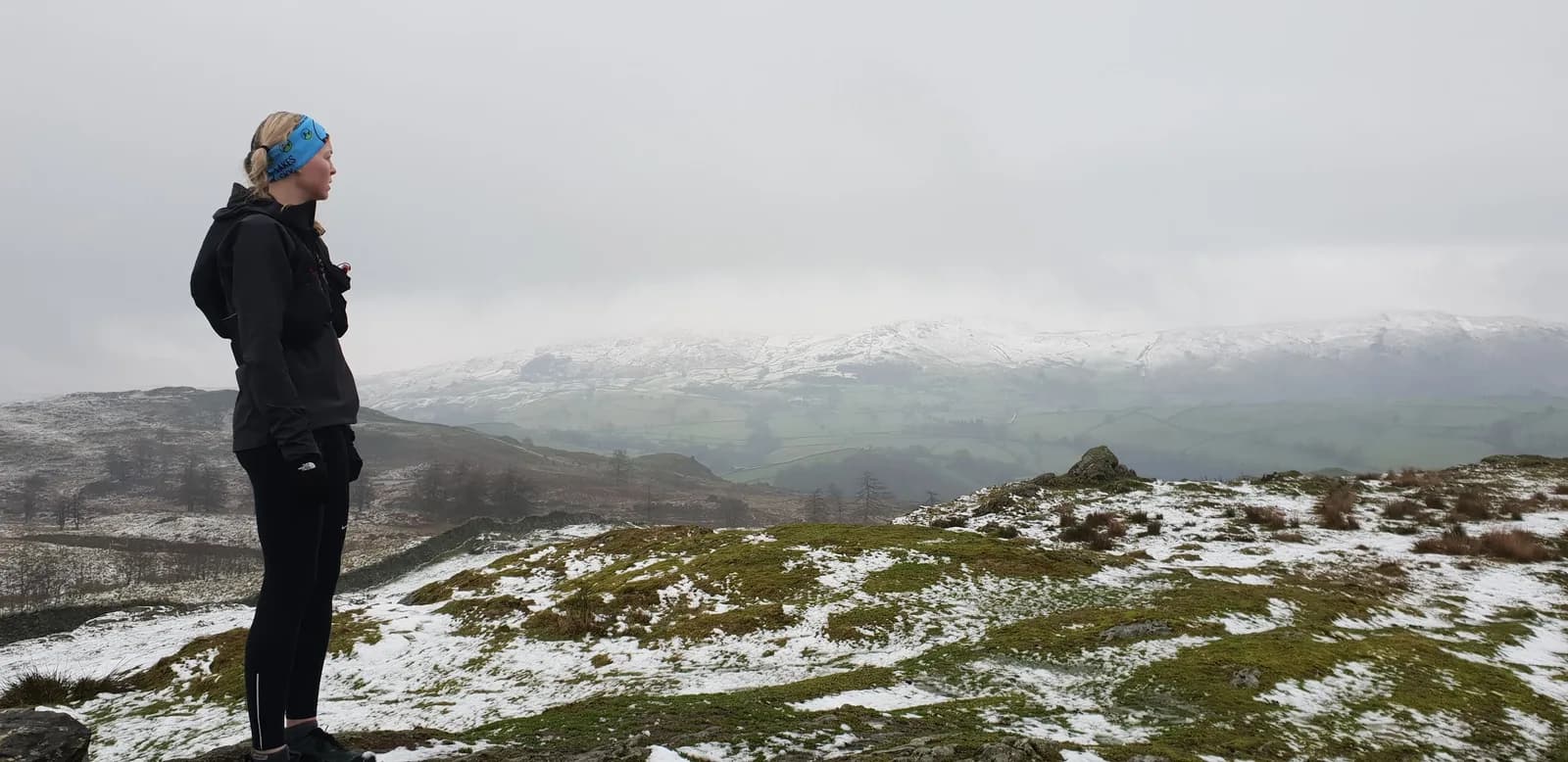 HARD
HARD HARD
HARDRaces on this ground
All Lake District races →Races starting within 20 km of the Newton Fell from Lindale start, nearest first. If you are entered for one, this route is the rehearsal.
8
May
2027
The Lap (Clockwise)
Finsthwaite Hall, Cumbria · The Lap · 5 miles away
The same seventy-five kilometres of Windermere from Finsthwaite Hall, the other way round.
Event full
13
Mar
2027
Leighton Hall Trails
Carnforth, Lancashire · Lakeland Trails · 7 miles away
Parkland and limestone woods on the edge of Morecambe Bay.
MODERATE
Not open yet
31
Jan
2027
That's Lyth
Abbot Hall Social Centre, Kendal · LDWA Lakeland · 10 miles away
Twenty-three and a half miles from Kendal over Cunswick Fell, Whitbarrow Scar and Scout Scar, nine hours, three checkpoints and a cut-off at the third.
Not open yet
£15–£22.5
21
Nov
2026
The Kendal Mountain Trail Runs
Kendal, Cumbria · Maverick Race · 10 miles away
Kendal Mountain Festival — 50km, 25km and a 10km that is really 11.8.
Entries open